
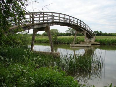
Hart's Weir Footbridge, Victorian footbridge over River Thames between Berkshire and Oxfordshire, United Kingdom.
The single-span concrete structure stretches across the River Thames, connecting pedestrian paths between two historic counties near Appleton village.
Built in 1879 at the location of a former weir known by multiple names including Ridge's, Langley's, Cock's, Rudge's, and Butler's.
The bridge represents Victorian engineering methods and serves as a meeting point for local residents exploring the Thames riverside paths.
Located upstream from Northmoor Lock at coordinates 51°42'23"N 1°23'36"W, the footbridge provides access for walkers and nature observers.
The structure exhibits a distinct arc shape when viewed from distance, leading local residents to refer to it as Rainbow Bridge.
Official opening: 1879
GPS coordinates: 51.70649,-1.39330
Latest update: March 7, 2025 05:57
Devil's Quoits
3.8 km
New Bridge
1.7 km
Northmoor Lock
1.5 km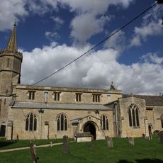
St Giles' Church, Standlake
3.5 km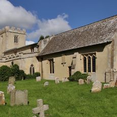
Church of St Mary
3.9 km
Frilford Heath, Ponds and Fens
3.4 km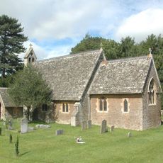
Church of St Lawrence
2.4 km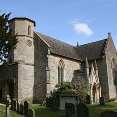
Church of St Nicholas
2.2 km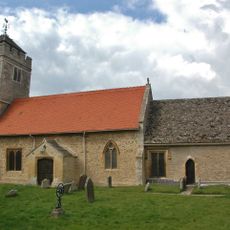
Church of St Lawrence, Appleton
2.4 km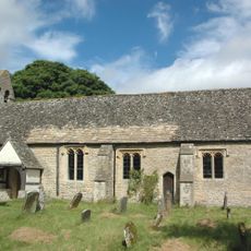
Church of St Lawrence, Besselsleigh
3.6 km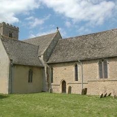
Church of St Denys
1.8 km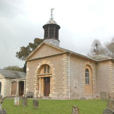
Church of St John the Baptist
3.2 km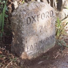
Milestone Approximately 20 Metres South East Of Church Of St Lawrence
2.4 km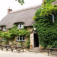
The Blue Boar Public House
3.5 km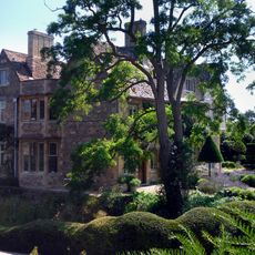
Appleton Manor
2.4 km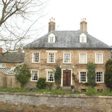
Manor Farmhouse
2.2 km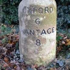
Milestone at SU 4485 9935
3.3 km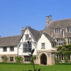
The Manor House
2.1 km
Kingston House
3.4 km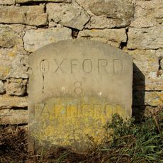
Milestone Approximately 28 Metres West South West Of Crossways
2.3 km
Longworth Manor, Wall And Gazebo 30 Metres East
4 km
Rectory Farm, Barn Approximately 60 Metres North North East Of Farmhouse
1.9 km
Rectory Farmhouse
1.8 km
Gazebo, Terrace Walls, Gates, Gatepiers And Wall Approximately 74 Metres North West Of Kingston House
3.3 km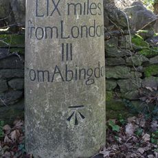
Milestone, Oakley House, between entrance to Park and Bothey Vineyard
4 km
Milestone, Tubney Farm, opp. church turn
2.8 km
Milestone, Tubney Warren, 200m W of turn to Appleton (Oaksmere)
2.8 km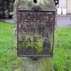
Milestone, Faringdon Road; in front of shops
3.7 kmReviews
Visited this place? Tap the stars to rate it and share your experience / photos with the community! Try now! You can cancel it anytime.
Discover hidden gems everywhere you go!
From secret cafés to breathtaking viewpoints, skip the crowded tourist spots and find places that match your style. Our app makes it easy with voice search, smart filtering, route optimization, and insider tips from travelers worldwide. Download now for the complete mobile experience.

A unique approach to discovering new places❞
— Le Figaro
All the places worth exploring❞
— France Info
A tailor-made excursion in just a few clicks❞
— 20 Minutes