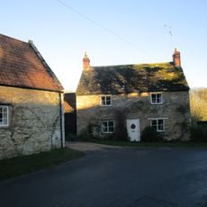
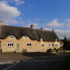
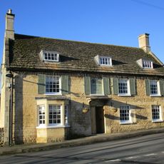
Hambleton Peninsula, Peninsula in Rutland Water, England
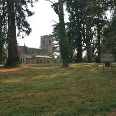
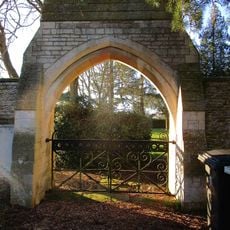
Hambleton Peninsula is a landform extending into Rutland Water reservoir with rolling green slopes, historic stone structures, and surrounding woodland paths that form a distinctive landscape. A graveled path circles the entire area, passing through trees and alongside water where boats and fishing activities regularly occur.
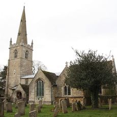
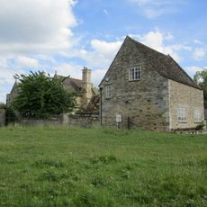
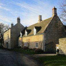
The construction of Rutland Water reservoir in 1975 submerged two of the peninsula's villages while one settlement remained above water level. This event transformed what had been populated land into a landscape shaped by water recreation and natural regrowth.
The name Hambleton comes from Old English meaning high settlement, reflecting its historical place on higher ground before the water arrived. Today this etymology reminds visitors of what once stood here as a thriving rural community.
The graveled path around the peninsula is easy to walk and passes through woodland with regular views across the water. Proper footwear is recommended as surfaces vary, and weather protection helps since wind can be strong over the open reservoir.
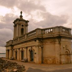
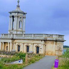
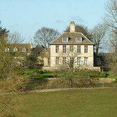
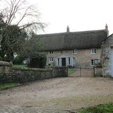
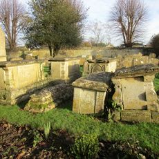
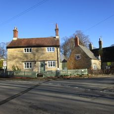
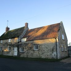
The Jacobean Old Hall built in 1611 remains standing at the water's edge as the final structure from the submerged settlements. This manor house offers visitors a physical trace of the community that once thrived before inundation occurred.
The community of curious travelers
AroundUs brings together thousands of curated places, local tips, and hidden gems, enriched daily by 60,000 contributors worldwide.