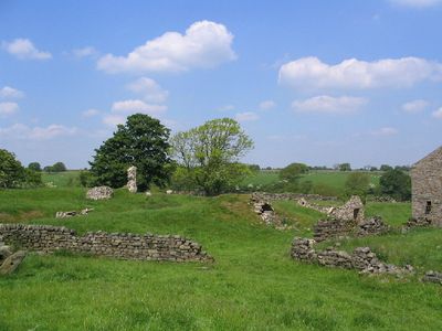
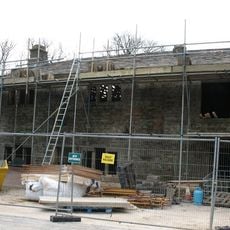
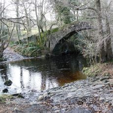
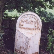
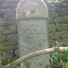
John O'Gaunt's Castle, Medieval castle ruins in West Riding of Yorkshire, England.
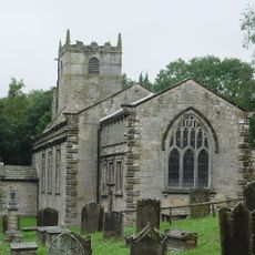
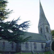
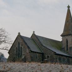
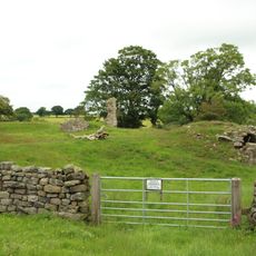
John O'Gaunt's Castle is a medieval fortified complex featuring a central tower foundation, curtain wall fragments, and a surrounding moat. The layout reveals how the structure was designed to control the surrounding landscape and provide defense.
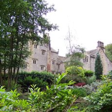
Construction began in 1334 under Edward III and the property passed to his son John of Gaunt, Duke of Lancaster, in 1372. The castle reflected the wealth and power of the English nobility during the late medieval period.
This royal hunting lodge reflects the medieval nobility's interests, featuring both defensive structures and specialized spaces for organizing hunting expeditions.
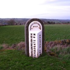
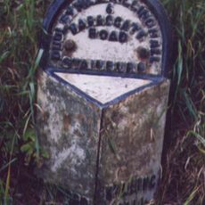
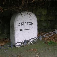
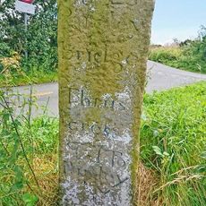
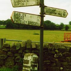
The site is freely accessible and allows visitors to walk around the ruins at ground level for a full view of the layout. The open terrain offers clear sightlines to understand the castle's original configuration.
The site incorporated a chapel within its walls and used lead roofing, features that demonstrated advanced craftsmanship typical of high-ranking noble residences. These details reveal the considerable resources invested in the property.
Location: West Riding of Yorkshire
GPS coordinates: 53.98590,-1.66660
Latest update: December 9, 2025 12:22
HMS Forest Moor
4.6 km
Church of St Michael and All Angels, Beckwithshaw
5 km
Swarcliffe Hall
5.2 km
Timble Inn
4.3 km
Church of St Lawrence
2.5 km
Church of St James the Apostle
5.4 km
Church of St Andrew
5.2 km
Dob Park Bridge
4.3 km
Swinsty Hall
2.9 km
Scow Hall
2.8 km
Medieval royal hunting lodge known as John of Gaunt's Castle, immediately north west of Haverah Park Top
56 m
Milepost At Se 2560 5672
4.3 km
Milepost Near Shawfield Head
4.7 km
Milepost At Se 2721 5498
5.3 km
Milepost At Se 2096 5612
1.9 km
Milepost At Se 2242 5618
1.8 km
Milestone
4.1 km
Southfield Farmhouse
5 km
Milepost
5.3 km
Milepost At Moorside Bridge
5.2 km
Milestone, Otley Road 200m E of Howhill Lane nrly opp gates to newly built property(2011)
5.3 km
Milestone, Pot Bank just N of entrance to Cardale Estate opp
4.9 km
Bridge across Lindley Wood Reservoir
4.7 km
Guidestone, Meg Gate, Birstwith
4.9 km
Guidestone, Back Road, High Birstwith
3.8 km
Guidestone, W of B6451, Menwith Hill Road
4.8 km
Guidestone, Thornthwaite Bridge
5.6 km
Milestone, NE of Otley. Pill White Lane
5.6 kmVisited this place? Tap the stars to rate it and share your experience / photos with the community! Try now! You can cancel it anytime.
Discover hidden gems everywhere you go!
From secret cafés to breathtaking viewpoints, skip the crowded tourist spots and find places that match your style. Our app makes it easy with voice search, smart filtering, route optimization, and insider tips from travelers worldwide. Download now for the complete mobile experience.
A unique approach to discovering new places❞
— Le Figaro
All the places worth exploring❞
— France Info
A tailor-made excursion in just a few clicks❞
— 20 Minutes