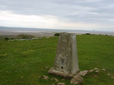
Humphrey Head, Limestone headland at Morecambe Bay, England.
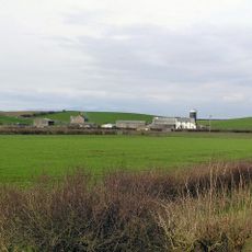
Humphrey Head is a limestone headland at Morecambe Bay that rises with a distinctive whale-back shape from the coastal landscape. The summit offers views toward Lancaster, Heysham, and the Leven estuary, along with the surrounding saltmarsh terrain.
The limestone cliff links to an event in 1390 when the last wolf in England was killed here following a chase from the Coniston area. This episode marks a pivotal moment in the region's environmental history.
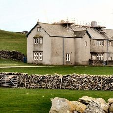
The reserve carries the name Joy Ketchen Memorial Reserve in honor of the first conservation officer with the Cumbria Wildlife Trust. Local visitors and naturalists have long valued this headland for its views and ecological importance.
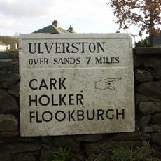
A walking trail leads to the highest point of the reserve and covers roughly 2 kilometers. The path winds through saltmarsh terrain and accessibility can vary depending on tide levels and water channels in the area.
A spring beneath the headland once drew miners from Durham specifically to collect its water. Today only a lead pipe and a trickle of water remain as a reminder of this historical resource.
GPS coordinates: 54.15700,-2.93300
Latest update: December 11, 2025 18:03
Holker Hall
4.8 km
Grange Over Sands Lido
3.6 km
St Mary's Church, Allithwaite
3 km
St Paul Parish Church, Grange-over-Sands
4.3 km
St John the Baptist's Church, Flookburgh
3.4 km
Netherwood Hotel
5.1 km
Grange Hotel
4.9 km
Abbot Hall
1.7 km
Strand Bridge
4.2 km
Crown Inn
3.1 km
Wraysholme Tower
1.8 km
Cartmel War Memorial
5.1 km
Raven Winder Farmhouse
3.4 km
Canon Winder Hall
4.1 km
Hardcragg Hall
4.3 km
Clock Tower
4.3 km
Flookburgh War Memorial
3.4 km
Grange-over-Sands Bandstand
3.9 km
Guidestone Appproximately 7 Metres South West Of Junction With Templands Road
4.7 km
Barclays Bank
4.4 km
Council Offices Victoria Hall Including Attached Offices And Restaurant
4.4 km
Footbridge Over Railway At Cark And Cartmel Station
3.5 km
Cross At Headless Cross To North Of Junction
4.7 km
Market Cross
3.2 km
Guide Stone Approximately 7 Metres From Junction At Headless Cross
4.6 km
Great Holker Lime
4.8 km
Guidestone At Corner Of The Causeway Approximately 7 Metres South Of St Marys Lodge
4.9 km
World War II fighter pens and other airfield remains and defences of the former airfield of RAF Cark
1.4 kmVisited this place? Tap the stars to rate it and share your experience / photos with the community! Try now! You can cancel it anytime.
Discover hidden gems everywhere you go!
From secret cafés to breathtaking viewpoints, skip the crowded tourist spots and find places that match your style. Our app makes it easy with voice search, smart filtering, route optimization, and insider tips from travelers worldwide. Download now for the complete mobile experience.
A unique approach to discovering new places❞
— Le Figaro
All the places worth exploring❞
— France Info
A tailor-made excursion in just a few clicks❞
— 20 Minutes