Lindisfarne National Nature Reserve, Protected coastal area in Northumberland, England
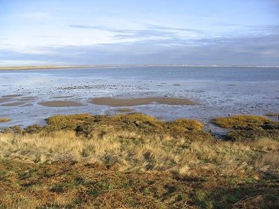
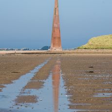
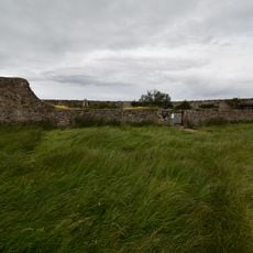
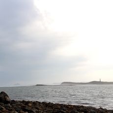
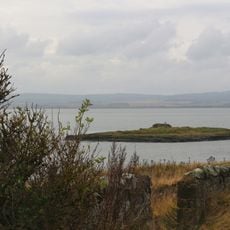
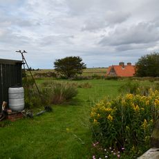
Lindisfarne National Nature Reserve is a protected coastal area along the North Sea in Northumberland, containing mudflats, rocky outcrops, sand dunes, and salt marshes across its expanse. The reserve combines these different habitats to create spaces where both inland and marine wildlife thrive together throughout the year.
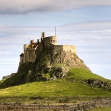
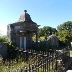
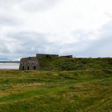
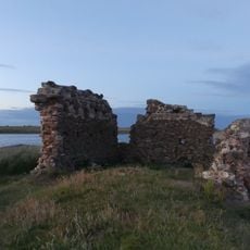
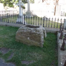
The site was home to a seventh-century monastery that became a major center of Christian learning and practice in early England. That religious community shaped the region's character for centuries and left lasting marks on local identity.
The reserve holds deep connections to its monastic past, and visitors walking the trails can sense how the landscape has remained central to life here for over 1300 years. The marshes and shores still shape how people experience this corner of England, much as they did for the early Christian community.
Access to the island comes via a causeway that is covered by tides at certain times, so checking the tide schedule before visiting is essential to avoid being stranded. The terrain is open but can be wet and muddy, especially in the low areas, so appropriate footwear is advisable for comfortable walking.
The reserve is the only place in Britain where thousands of pale-bellied brent geese from the Arctic overwinter, allowing visitors to see these rare arctic birds in their seasonal home. These geese return annually at predictable times, making the site a reliable destination for birdwatchers seeking these visitors from the far north.
The community of curious travelers
AroundUs brings together thousands of curated places, local tips, and hidden gems, enriched daily by 60,000 contributors worldwide.