Chest opened
+${chestReward.xp} XP
Explorer
NOUVEAU ×${chestReward.collectible.quantity}
tapez pour fermer

See the monuments around you in AR Open chests in the app

Around Us is built for your phone — point your camera at the streets and discover the monuments and places around you in augmented reality. Around Us is built for your phone — chests unlock when you walk, explore and capture nearby places.

Enable Location

We need your location to show you interesting places around you

Discover nearby places

Find interesting locations and hidden gems around you

Precise directions

Get accurate directions and distances to places

Your location is never shared with other users. It's only used when you tap the location button.

Log in to your account

Start exploring — it's free

Trusted by 86,321 travelers worldwide

Continue with Google
Continue with Apple
or

We will send you a code to connect

By continuing, you accept our Terms and Conditions and our Privacy Policy

Check your inbox

We've sent a pincode in your inbox. Please enter the code below.

Lambeth Marsh
Discussion Reviews Photo
4.4k Popularity

Lambeth Marsh, Historical district on South Bank, London, England

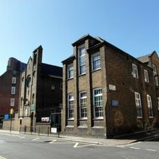
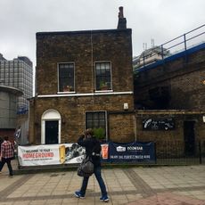
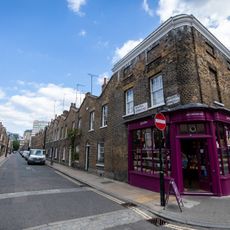
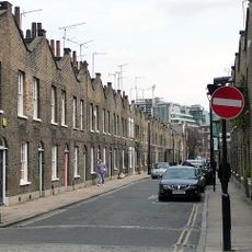
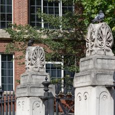
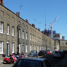
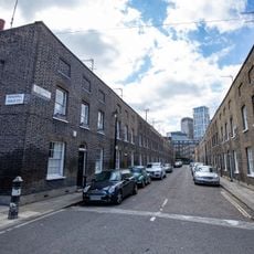
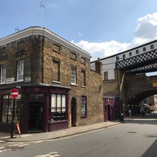
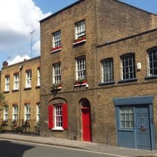
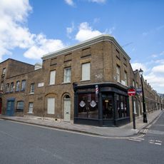
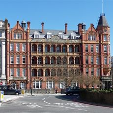
Lambeth Marsh is a district on London's South Bank, occupying ground that was once wetland between Waterloo and Lambeth. Its streets are relatively narrow, lined with Victorian terraces and a handful of older buildings, and the area centers on Lower Marsh, the main commercial street.

The area appears in the Domesday Book of 1086 and remained largely agricultural and difficult to build on for centuries because of the waterlogged ground. Drainage work carried out in the 1700s finally allowed construction to take hold, and the district gradually filled with the terraced streets still visible today.

Lower Marsh Market runs along the main street and draws a mix of local workers, residents, and visitors on most days of the week. Stalls selling fresh food and everyday goods sit alongside small cafes and independent shops that have traded here for generations.

The district is a short walk from Waterloo Station, which makes it easy to reach from central London without any planning. The ground is flat throughout and Lower Marsh itself is straightforward to find, so a visit can be combined with nearby South Bank attractions.

The names Narrow Wall and Broad Wall, still used for streets in the area, come from medieval earth banks that were built along the Thames to hold back floodwater. These banks once defined the edge of the river here, long before the ground was drained and built upon.

The community of curious travelers

AroundUs brings together thousands of curated places, local tips, and hidden gems, enriched daily by 60,000 contributors worldwide.
Start exploring
GPS coordinates
51.50430,-0.11283
Latest update
September 13, 2026 03:08
Around this place
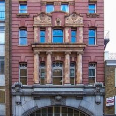
London Necropolis railway station
United Kingdom

London Necropolis railway station

0.1 mi
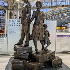
National Windrush Monument
United Kingdom

National Windrush Monument

340 ft
Union Jack Club
United Kingdom

Union Jack Club

520 ft
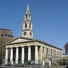
St John's Church, Waterloo
United Kingdom

St John's Church, Waterloo

220 ft
St Patrick's Church, Waterloo
United Kingdom

St Patrick's Church, Waterloo

500 ft
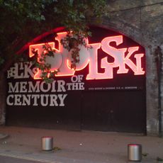
Topolski Century
United Kingdom

Topolski Century

0.1 mi
Waterloo Station (Victory Arch)
United Kingdom

Waterloo Station (Victory Arch)

310 ft
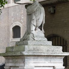
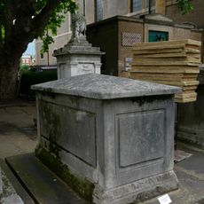
Tomb (With Draped Urn) In Churchyard To North West Of Portico Of Church Of St John With All Saints
United Kingdom

Tomb (With Draped Urn) In Churchyard To North West Of Portico Of Church Of St John With All Saints

160 ft
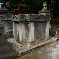
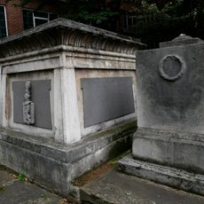
Edwards Family Tomb In Churchyard To North-West Portico Of Church Of St John With All Saints
United Kingdom

Edwards Family Tomb In Churchyard To North-West Portico Of Church Of St John With All Saints

130 ft
Fountain In Courtyard Of Shell Centre
United Kingdom

Fountain In Courtyard Of Shell Centre

0.1 mi
Peache Family Tomb In Church Yard To North West Of Portico Of Church Of St John With All Saints
United Kingdom

Peache Family Tomb In Church Yard To North West Of Portico Of Church Of St John With All Saints

130 ft
26-42, Roupell Street Se1
United Kingdom

26-42, Roupell Street Se1

0.1 mi
5, Whichcote Street Se1
United Kingdom

5, Whichcote Street Se1

90 ft
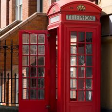
K2 Telephone Kiosk, Outside Cornwall House
United Kingdom

K2 Telephone Kiosk, Outside Cornwall House

380 ft
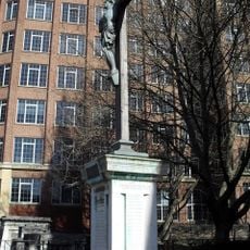
War memorial at St John's Church, Waterloo
United Kingdom

War memorial at St John's Church, Waterloo

130 ft
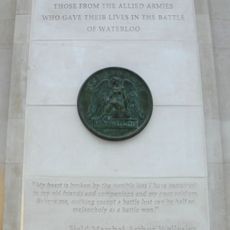
Memorial to the Battle of Waterloo
United Kingdom

Memorial to the Battle of Waterloo

460 ft
43-61, Roupell Street Se1
United Kingdom

43-61, Roupell Street Se1

0.1 mi
Sharp Family Tomb In Churchyard To North West Of Portico Of Church Of St John With All Saints
United Kingdom

Sharp Family Tomb In Churchyard To North West Of Portico Of Church Of St John With All Saints

130 ft
2-18, Whittlesey Street Se1
United Kingdom

2-18, Whittlesey Street Se1

0.1 mi
5-21, Whittlesey Street Se1
United Kingdom

5-21, Whittlesey Street Se1

0.1 mi
Forecourt Walls To Church Of St John With All Saints
United Kingdom

Forecourt Walls To Church Of St John With All Saints

120 ft
Wall on South Side, and Wall, Gate Piers and Gate on East Side, of St John with All Saints' Churchyard
United Kingdom

Wall on South Side, and Wall, Gate Piers and Gate on East Side, of St John with All Saints' Churchyard

330 ft
K6 Telephone Kiosk, Outside Cornwall House
United Kingdom

K6 Telephone Kiosk, Outside Cornwall House

440 ft
22, Cornwall Road Se1
United Kingdom

22, Cornwall Road Se1

0.1 mi
23, Cornwall Road Se1
United Kingdom

23, Cornwall Road Se1

0.1 mi
25, Cornwall Road SE1
United Kingdom

25, Cornwall Road SE1

0.1 mi
95-123, Stamford Street Se1
United Kingdom

95-123, Stamford Street Se1

0.1 mi
Royal Waterloo Hospital for Children and Women
United Kingdom

Royal Waterloo Hospital for Children and Women

350 ft
Show the full map
Reviews
Share your experience

No review yet

Discussions
Start a discussion...

No discussion yet

« Lambeth Marsh - Historical district on South Bank, London, England » is provided by Around Us (aroundus.com). Images and texts are derived from Wikimedia project under a Creative Commons license. You are allowed to copy, distribute, and modify copies of this page, under the conditions set by the license, as long as this note is clearly visible.

Discover hidden gems everywhere you go!

From secret cafés to breathtaking viewpoints, skip the crowded tourist spots and find places that match your style. Our app makes it easy with voice search, smart filtering, route optimization, and insider tips from travelers worldwide. Download now for the complete mobile experience.
Around Us App Screenshot

A unique approach to discovering new places

Le Figaro

All the places worth exploring

France Info

A tailor-made excursion in just a few clicks

20 Minutes

Around Us
Travel Guide & Maps
Download

Send to your phone

QR Code
1

Open the camera app on your mobile.

2

Point at the QR code with your camera. A notification will appear.

3

Tap the notification to open the link.