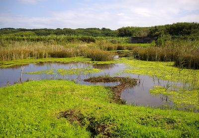
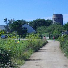
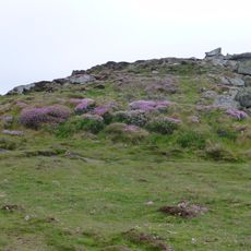
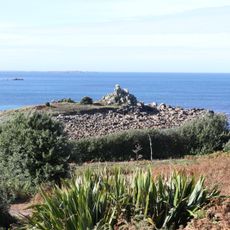
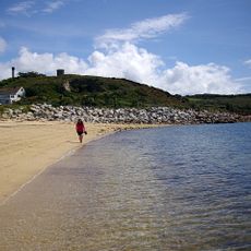
Lower Moors, Protected wetland in St Mary's, Isles of Scilly, United Kingdom.
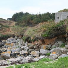
Lower Moors is a protected wetland on St. Mary's island featuring a mosaic of different habitats across its area. The site includes moorland, reed beds, wet woodland, and open water pools that together form a complex ecosystem.
The site was designated as a Site of Special Scientific Interest in 1971 due to its importance for migratory and wintering birds. This protected status has safeguarded the wetland against major changes over the decades.
The site draws naturalists and bird watchers who observe species during migration and winter months. This wetland landscape serves as a place where visitors connect with wildlife and understand the importance of protecting such habitats.
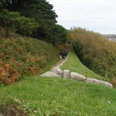
Access points are located at Trench Lane and Telegraph Road, and waterproof footwear is recommended during wet weather. Paths can become muddy after rain, so visitors should expect soft ground conditions.
In December 2007, a great blue heron was documented here for the first time in Britain, surprising ornithologists. This rare sighting brought attention to the wetland from bird watchers worldwide.
Location: Isles of Scilly
GPS coordinates: 49.91640,-6.30250
Latest update: December 14, 2025 18:13
St Mary's Old Church, St Mary's
644 m
Star Castle
1.3 km
St Mary's Church, St Mary's
585 m
Peninnis Lighthouse
1.3 km
Harry's Walls
367 m
Buzza Tower
677 m
Isles of Scilly Museum
943 m
Garrison Tower
1.5 km
Church of St Mary (Methodist)
715 m
Coastguard's Look Out Tower
1.4 km
Buzza Hill Dolmen
723 m
Former Wesleyan Methodist Chapel
1.1 km
Giant's Castle, St Mary's
1.3 km
Star Castle
1.3 km
The Atlantic Hotel
1.1 km
Post Office
1.1 km
Taylor's Island
1.1 km
Old Town War Memorial
679 m
The Bishop And Wolf Public House
997 m
The Old Quay, Old Town Bay, St Mary's
562 m
Porthcressa Beach
1 km
Town Hall
938 m
Newman House
1.4 km
Post-medieval breastwork, curtain wall and associated defensive structures on the periphery of The Garrison, St Mary's
1.5 km
World War II pillbox west of Porth Hellick, 90m north of Drum Rock, St Mary's
1.1 km
World War II pillbox and Civil War battery at Tolman Point, St Mary's
768 m
Carn Leh
811 m
The Pier
1.1 kmVisited this place? Tap the stars to rate it and share your experience / photos with the community! Try now! You can cancel it anytime.
Discover hidden gems everywhere you go!
From secret cafés to breathtaking viewpoints, skip the crowded tourist spots and find places that match your style. Our app makes it easy with voice search, smart filtering, route optimization, and insider tips from travelers worldwide. Download now for the complete mobile experience.
A unique approach to discovering new places❞
— Le Figaro
All the places worth exploring❞
— France Info
A tailor-made excursion in just a few clicks❞
— 20 Minutes