Enable Location

We need your location to show you interesting places around you

Discover nearby places

Find interesting locations and hidden gems around you

Precise directions

Get accurate directions and distances to places

Your location is never shared with other users. It's only used when you tap the location button.

Maghery Country Park

Log in to your account

Start exploring — it's free

Trusted by 62,479 travelers worldwide

Continue with Google
Continue with Apple
or

We will send you a code to connect

By continuing, you accept our Terms and Conditions and our Privacy Policy

Check your inbox

We've sent a pincode in your inbox. Please enter the code below.

Maghery Country Park

Maghery Country Park, Public park in Maghery, Northern Ireland

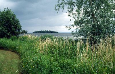
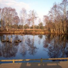
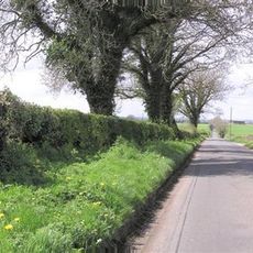
Maghery Country Park is a waterside park along Lough Neagh featuring wooded trails and open spaces for walking and exploring. The site includes water access points, children's play areas, and rest spots for visitors of all ages.

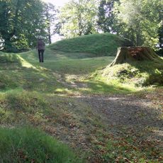
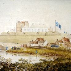
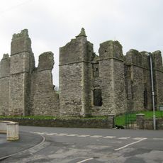
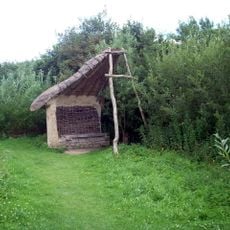
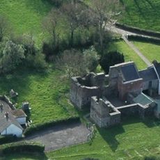
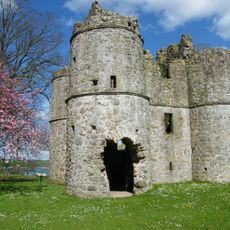
The park connects to nearby Coney Island, a site linked to Norman settlement patterns in medieval Ulster. This connection reflects centuries of human activity in the region.

Local residents and visitors gather at the park's designated areas for community activities, outdoor recreation, and nature observation throughout the changing seasons.

The park is open from dawn to dusk with free parking and clear pathways throughout the grounds. Access points to the water are well-marked and suitable for various activities and skill levels.

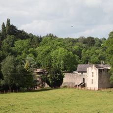
The park sits where the River Blackwater meets Lough Neagh, creating opportunities for both river and lake-based water activities. This unusual location makes it particularly suited for fishing and paddling sports.

The community of curious travelers

AroundUs brings together thousands of curated places, local tips, and hidden gems, enriched daily by 60,000 contributors worldwide.

Start exploring
Location
GPS coordinates
54.51600,-6.58300
Latest update
December 14, 2025 14:22
Around this place
Tullyhogue Fort
United Kingdom

Tullyhogue Fort

13.8 km
Drumcree Church
United Kingdom

Drumcree Church

11.6 km
Ardboe High Cross
United Kingdom

Ardboe High Cross

12.6 km
Charlemont Fort
United Kingdom

Charlemont Fort

9.8 km
Castle Caulfield
United Kingdom

Castle Caulfield

16.3 km
Peatlands Park
United Kingdom

Peatlands Park

3.8 km
Oxford Island
United Kingdom

Oxford Island

13.7 km
Ardress House
United Kingdom

Ardress House

8.1 km
Benburb Castle
United Kingdom

Benburb Castle

15.9 km
Mountjoy Castle
United Kingdom

Mountjoy Castle

5 km
Town Hall Theatre, Portadown
United Kingdom

Town Hall Theatre, Portadown

13.9 km
Roughan Castle
United Kingdom

Roughan Castle

12.6 km
Tamlaght Dolmen
United Kingdom

Tamlaght Dolmen

15.4 km
Ranfurly House
United Kingdom

Ranfurly House

12 km
General Nicholson Statue Dungannon Royal School Dungannon Co.tyrone
United Kingdom

General Nicholson Statue Dungannon Royal School Dungannon Co.tyrone

11.8 km
The Argory
United Kingdom

The Argory

7.4 km
Picture House
United Kingdom

Picture House

17 km
Coagh Bridge Over Ballinderry River At S End Of Bridgend Road Cookstown Co Londonderry
United Kingdom

Coagh Bridge Over Ballinderry River At S End Of Bridgend Road Cookstown Co Londonderry

15 km
Dungannon Library
United Kingdom

Dungannon Library

12.1 km
St. Michael's Church Clonoe Parish, Killary Glebe Coalisland, Co. Tyrone.
United Kingdom

St. Michael's Church Clonoe Parish, Killary Glebe Coalisland, Co. Tyrone.

6 km
Armagh Omniplex
United Kingdom

Armagh Omniplex

13.7 km
Portadown Library
United Kingdom

Portadown Library

13.8 km
Lurgan Library
United Kingdom

Lurgan Library

17.3 km
St Luran's Church Of Ireland Church 96 Church Street Cookstown Co Tyrone Bt80 8hx
United Kingdom

St Luran's Church Of Ireland Church 96 Church Street Cookstown Co Tyrone Bt80 8hx

16.9 km
Methodist Church Thomas St. Portadown Co.armagh
United Kingdom

Methodist Church Thomas St. Portadown Co.armagh

13.9 km
St.james Church The Diamond Moy Dungannon Co. Tyrone
United Kingdom

St.james Church The Diamond Moy Dungannon Co. Tyrone

10.4 km
Former Bank of Ireland aka Ranfurly House 26 Market Square Dungannon, Co. Tyrone
United Kingdom

Former Bank of Ireland aka Ranfurly House 26 Market Square Dungannon, Co. Tyrone

12 km
St. Michael's Church Castlecaulfield Dungannon Co.tyrone
United Kingdom

St. Michael's Church Castlecaulfield Dungannon Co.tyrone

16.4 km
Show the full map
« Maghery Country Park - Public park in Maghery, Northern Ireland » is provided by Around Us (aroundus.com). Images and texts are derived from Wikimedia project under a Creative Commons license. You are allowed to copy, distribute, and modify copies of this page, under the conditions set by the license, as long as this note is clearly visible.

Discover hidden gems everywhere you go!

From secret cafés to breathtaking viewpoints, skip the crowded tourist spots and find places that match your style. Our app makes it easy with voice search, smart filtering, route optimization, and insider tips from travelers worldwide. Download now for the complete mobile experience.

Around Us App Screenshot

A unique approach to discovering new places

Le Figaro

All the places worth exploring

France Info

A tailor-made excursion in just a few clicks

20 Minutes

Around Us
Travel Guide & Maps
Download

Send to your phone

QR Code
1

Open the camera app on your mobile.

2

Point at the QR code with your camera. A notification will appear.

3

Tap the notification to open the link.