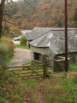
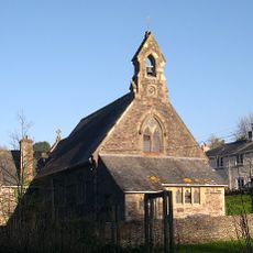
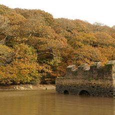
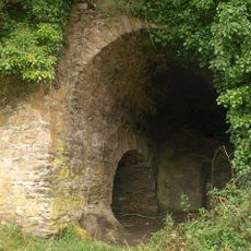
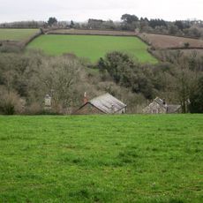
Lopwell, Natural reserve at River Tavy, Devon, England.
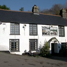
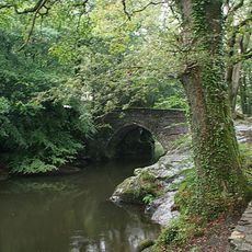
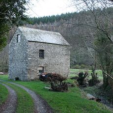
Lopwell is a protected nature reserve situated along the River Tavy near Plymouth in Devon. It contains saltmarsh, freshwater wetlands, and mature woodland connected by walking trails that wind through each type of habitat.
The area received protected status in 1981 under the Wildlife and Countryside Act due to its ecological value. This designation ensured that the river valley's natural features and wildlife habitats would be safeguarded from development.
The site draws nature enthusiasts who come to watch birds and other wildlife in their natural surroundings throughout the year. Local groups and schools use this place to learn about how different species depend on these wetland and woodland habitats.
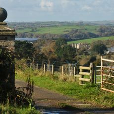
Visiting is easiest in dry conditions as the paths can become muddy after rain. Good footwear is recommended and binoculars help you observe birds and other animals from a respectful distance.
The reserve sits at the tidal boundary where salt and freshwater mix, creating uncommon transition habitats. This meeting zone supports species specially adapted to shift between different water conditions.
The community of curious travelers
AroundUs brings together thousands of curated places, local tips, and hidden gems, enriched daily by 60,000 contributors worldwide.