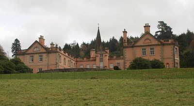
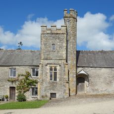
Maristow House, Grade II* listed country house in Bickleigh, England
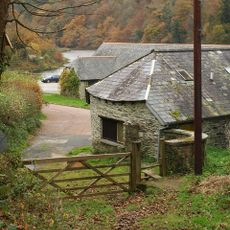
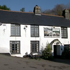
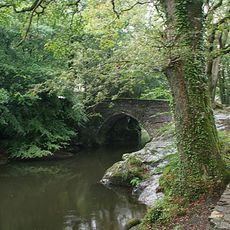
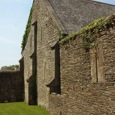
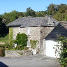
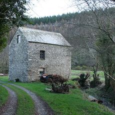
Maristow House is a country house standing beside the River Tavy with rendered rubble stone walls and stone detailing arranged in an E-shaped layout across two stories and an attic. The building was subdivided into twelve separate private residences during renovation work completed in the late 1990s.
The house was built in 1560 and underwent major reconstruction in the middle of the 18th century before passing to the Lopes family in 1798. It remained their property until 1938 and has a long history as an aristocratic residence in Devon.
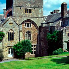
Following a post-World War II fire, the grand staircase and select plasterwork from the 18th century remained intact within the building's internal structure.
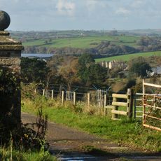
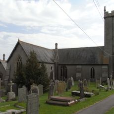
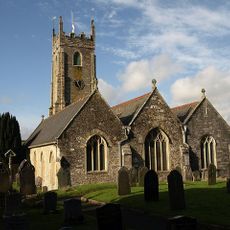
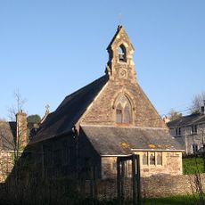
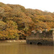
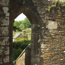
The estate sits in rural countryside beside the river and is now divided into private residences, so access to the interior is limited. Visitors should view the building from outside and explore the nearby chapel on the grounds, which offers more open access to the surrounding landscape.
A chapel on the grounds contains a spire from the 19th century that replaced a much older medieval structure dating back several hundred years. This spire creates a striking visual connection between the mansion and the religious heritage of the surrounding landscape.
The community of curious travelers
AroundUs brings together thousands of curated places, local tips, and hidden gems, enriched daily by 60,000 contributors worldwide.