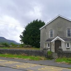
Moel Penderyn, Hill summit in Rhondda Cynon Taf, United Kingdom.
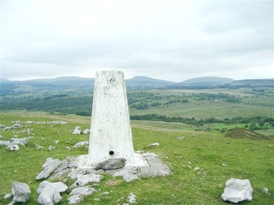
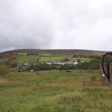
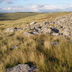
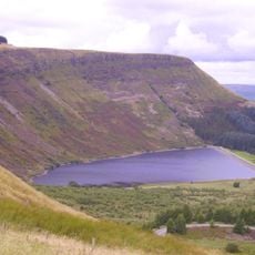
Moel Penderyn is a hill reaching 371 meters above sea level in the Brecon Beacons National Park, marked by a triangulation point at the summit. The peak provides views across the surrounding plateau and valleys of the region.
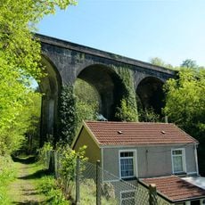
The hill retains remnants of old industrial tramways along its eastern slopes, traces of the mining era that shaped Welsh industrial development. These relics mark where transport systems once moved materials extracted from the surrounding area.
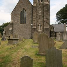
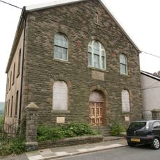
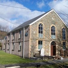
The name Moel Penderyn blends Welsh geographical terms with local heritage, showing how traditional Welsh language persists in naming the landscape. Walking here, you move through a region where this language connection shapes how people understand and talk about their surroundings.
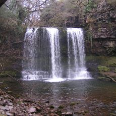
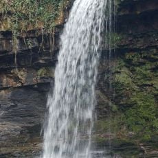
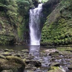
Multiple established walking routes connect the summit to Penderyn village and Sgwd yr Eira waterfall, each clearly marked for easy navigation. The paths are well-defined, making it straightforward to plan your route and explore the area.
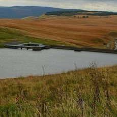
The rock layers here are Carboniferous Limestone and Twrch Sandstone, shaped by geological faults running through the region. These stone formations reveal the ancient geological history written into the hillside.
The community of curious travelers
AroundUs brings together thousands of curated places, local tips, and hidden gems, enriched daily by 60,000 contributors worldwide.