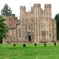
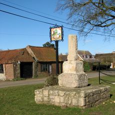
Middleton Mount, Medieval motte-and-bailey castle in Middleton, England
Middleton Mount is a motte-and-bailey castle in Middleton featuring a circular earthen mound surrounded by defensive ditches and multiple enclosed areas typical of Norman fortifications. The site preserves the characteristic layout of 11th and 12th century military strongholds with distinct mound and ward structures.
The castle was built after the Norman conquest of 1066 on the site of an earlier Anglo-Saxon administrative center and served as a military outpost for regional control. It represents the rapid establishment of fortified positions that Normans constructed to consolidate power across conquered territory.
The Norfolk Archaeological Trust maintains this scheduled monument as a testament to medieval fortification techniques and Norman architectural influences in England.
The site is open for visitors to walk around and view the medieval structures and earthwork details directly. It helps to approach from different angles to get a full sense of how the mound and surrounding defensive works relate to each other.
Excavations from the 1980s uncovered remains of a substantial timber building near the bailey defenses, revealing occupation of the site before the Norman takeover. This discovery shows the location held importance as a settlement long before the fortified structure was built.
The community of curious travelers
AroundUs brings together thousands of curated places, local tips, and hidden gems, enriched daily by 60,000 contributors worldwide.