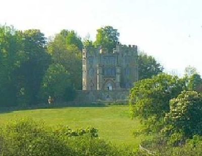
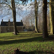
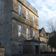
Midford Castle, Gothic folly castle in Southstoke, England
Midford Castle is a neo-gothic building in Southstoke featuring three connected semi-circular towers arranged in a trefoil shape with gothic style details throughout its stonework. The property is surrounded by a Grade II listed gatehouse, lodge, stables, coach house, and greenhouse on the grounds.
John Carter designed the structure in 1775 for Henry Disney Roebuck, blending medieval revival elements with the popular neo-gothic style of the time. The project emerged during a period when decorative buildings became increasingly common among wealthy landowners.
The structure shows how wealthy landowners of the 1700s expressed their taste through eye-catching buildings rather than practical fortifications. These ornamental constructions became a way for people to showcase their interests and social standing to visitors.
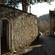
The building sits about three miles south of Bath and is surrounded by several outbuildings that form part of the overall visit experience. Access to the site comes through the Grade II listed gatehouse, which opens onto the grounds with stables and other historic structures.
The distinctive trefoil shape of the building resembles the club symbol from playing cards, which has sparked ongoing speculation about possible connections to gambling activities. This unusual architectural form makes the structure immediately recognizable from the surrounding landscape.
The community of curious travelers
AroundUs brings together thousands of curated places, local tips, and hidden gems, enriched daily by 60,000 contributors worldwide.