Combe Down and Bathampton Down Mines, Protected limestone mines in Bath and North East Somerset, England.
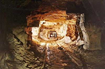
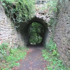
Combe Down and Bathampton Down are limestone mines beneath Bath and North East Somerset covering about 6 square kilometers with underground chambers dating to the Jurassic period. The workings form a complex network of extraction rooms carved into the earth over many centuries.
These mines were systematically worked from the 17th century onward to supply stone for major buildings across England. The extraction continued through the 18th century and shaped Bath's development as a construction hub.
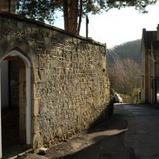
The mines reveal three centuries of working methods through tool marks, old rails, and traditional room-and-pillar techniques that shaped how people extracted stone. Visitors can observe the craftsmanship that went into quarrying by hand and how these practices left their mark on the landscape beneath the city.
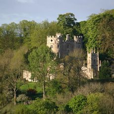
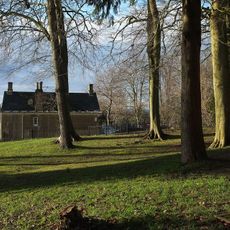
The underground is stabilized but most workings lie beneath residential areas and are not open to visitors for safety reasons. The surrounding site can still be explored to understand the geological features and this location's role in Bath's past.
The workings have become winter homes for rare bat species including Greater and Lesser Horseshoe bats. These bats use the steady temperature and darkness of the underground spaces to hibernate, turning the site into an important nature reserve.
The community of curious travelers
AroundUs brings together thousands of curated places, local tips, and hidden gems, enriched daily by 60,000 contributors worldwide.