Chest opened
+${chestReward.xp} XP
Explorer
NOUVEAU ×${chestReward.collectible.quantity}
tapez pour fermer
Chest locked

Open chests in the app

Around Us is built for your phone — chests unlock when you walk, explore and capture nearby places.

Enable Location

We need your location to show you interesting places around you

Discover nearby places

Find interesting locations and hidden gems around you

Precise directions

Get accurate directions and distances to places

Your location is never shared with other users. It's only used when you tap the location button.

Log in to your account

Start exploring — it's free

Trusted by 72,881 travelers worldwide

Continue with Google
Continue with Apple
or

We will send you a code to connect

By continuing, you accept our Terms and Conditions and our Privacy Policy

Check your inbox

We've sent a pincode in your inbox. Please enter the code below.

Mary Towneley Loop
Discussion Reviews Photo
2.5k Popularity

Mary Towneley Loop

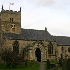
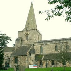
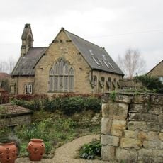
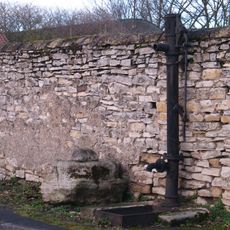
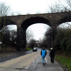
The Mary Towneley Loop is a long-distance trail spanning about 47 miles through the South Pennines, designed for walkers, cyclists, and riders and beginning and ending at Charlestown near Hebden Bridge. The route passes through moorlands and valleys with open fields, low stone walls, and numerous gates that protect livestock.

The trail originated from a 1986 journey by Mary Towneley and friends who rode over 250 miles along old paths in nine days to prove long-distance riding was possible in England. The official loop opened in 2002 as the first completed section of the Pennine Bridleway, a network created to provide riding and cycling routes.

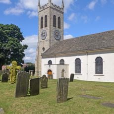
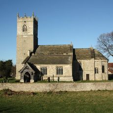
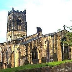
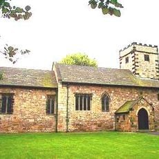
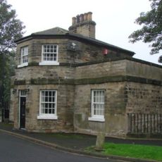
The trail passes through small villages and farmland where you can observe rural life: farmers working, villagers at the pub, sheep grazing. These everyday moments show how communities function in this countryside and how closely people and the landscape are connected.

The trail is open year-round and requires sturdy footwear, a bike, or riding gear depending on your activity, along with good map planning as cell signals can be weak in remote sections. Accommodation options like bunkhouses and hostels are located within a few kilometers, and many people complete the route in sections rather than all at once.

One section known as 'Cotton Famine Road' was built in the 1860s when cotton mills suffered due to the American Civil War; the gritstone blocks were laid by workers trying to keep their jobs. This segment stands as a monument to the hard work and resilience of people during difficult times.

The community of curious travelers

AroundUs brings together thousands of curated places, local tips, and hidden gems, enriched daily by 60,000 contributors worldwide.

Start exploring
GPS coordinates
53.70400,-1.23300
Latest update
February 9, 2026 08:22
Around this place
Show the full map
Reviews
Share your experience

No review yet

Discussions
Start a discussion...

No discussion yet

« Mary Towneley Loop » is provided by Around Us (aroundus.com). Images and texts are derived from Wikimedia project under a Creative Commons license. You are allowed to copy, distribute, and modify copies of this page, under the conditions set by the license, as long as this note is clearly visible.

Discover hidden gems everywhere you go!

From secret cafés to breathtaking viewpoints, skip the crowded tourist spots and find places that match your style. Our app makes it easy with voice search, smart filtering, route optimization, and insider tips from travelers worldwide. Download now for the complete mobile experience.

Around Us App Screenshot

A unique approach to discovering new places

Le Figaro

All the places worth exploring

France Info

A tailor-made excursion in just a few clicks

20 Minutes

Around Us
Travel Guide & Maps
Download

Send to your phone

QR Code
1

Open the camera app on your mobile.

2

Point at the QR code with your camera. A notification will appear.

3

Tap the notification to open the link.