Chest opened
+${chestReward.xp} XP
Explorer
NOUVEAU ×${chestReward.collectible.quantity}
tapez pour fermer
Chest locked

Open chests in the app

Around Us is built for your phone — chests unlock when you walk, explore and capture nearby places.

Enable Location

We need your location to show you interesting places around you

Discover nearby places

Find interesting locations and hidden gems around you

Precise directions

Get accurate directions and distances to places

Your location is never shared with other users. It's only used when you tap the location button.

Log in to your account

Start exploring — it's free

Trusted by 73,108 travelers worldwide

Continue with Google
Continue with Apple
or

We will send you a code to connect

By continuing, you accept our Terms and Conditions and our Privacy Policy

Check your inbox

We've sent a pincode in your inbox. Please enter the code below.

Municipal Borough of Bexley
Discussion Reviews Photo
2.5k Popularity

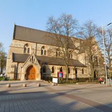
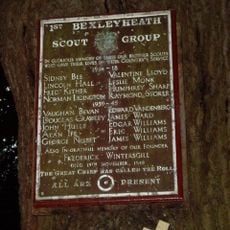
Municipal Borough of Bexley, Administrative district in Kent, England

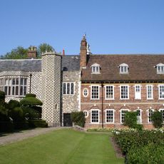
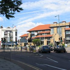
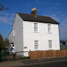
The Municipal Borough of Bexley was an administrative district in southeast London that contained residential and business areas with green spaces between them. The administration operated from a central office building and managed the daily services for local residents.

The district was established as a governing body in 1880 and grew as London expanded during the 20th century. In 1965 it lost its separate status when it was merged into the modern London Borough system.

The coat of arms adopted in 1937 displayed symbols like an eagle and apple tree that reflected the farming heritage of the area. These emblems showed how important agriculture and natural resources were to those who lived there.

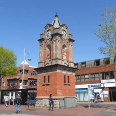
The district was located southeast of central London and was accessible by public transport. Visitors could easily explore the administrative centers and parks of the area on foot or by tram and bus.

The administration used the Latin motto 'Non Nobis Sed Communitati' which meant focus on the community good rather than personal gain. This principle guided the district's work until its dissolution in 1965.

The community of curious travelers

AroundUs brings together thousands of curated places, local tips, and hidden gems, enriched daily by 60,000 contributors worldwide.

Start exploring
GPS coordinates
51.45000,0.15000
Latest update
March 6, 2026 16:53
Around this place
Show the full map
Reviews
Share your experience

No review yet

Discussions
Start a discussion...

No discussion yet

« Municipal Borough of Bexley - Administrative district in Kent, England » is provided by Around Us (aroundus.com). Images and texts are derived from Wikimedia project under a Creative Commons license. You are allowed to copy, distribute, and modify copies of this page, under the conditions set by the license, as long as this note is clearly visible.

Discover hidden gems everywhere you go!

From secret cafés to breathtaking viewpoints, skip the crowded tourist spots and find places that match your style. Our app makes it easy with voice search, smart filtering, route optimization, and insider tips from travelers worldwide. Download now for the complete mobile experience.

Around Us App Screenshot

A unique approach to discovering new places

Le Figaro

All the places worth exploring

France Info

A tailor-made excursion in just a few clicks

20 Minutes

Around Us
Travel Guide & Maps
Download

Send to your phone

QR Code
1

Open the camera app on your mobile.

2

Point at the QR code with your camera. A notification will appear.

3

Tap the notification to open the link.