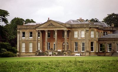
Neston Park, Grade II* listed building in Corsham, England
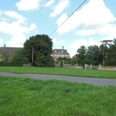
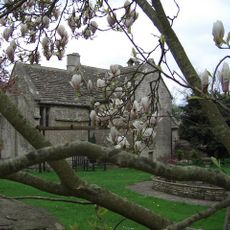
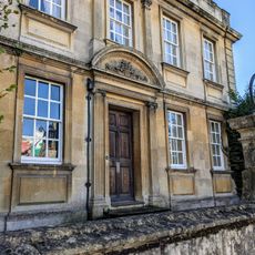
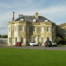
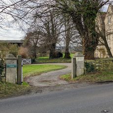
Neston Park is a two-story country house featuring eight bays across its main facade and built with ashlar stone, with a third story added at the rear. The estate encompasses an organic farm raising Jersey and cross-bred cattle, and public footpaths wind through its parkland.
The estate traces its origins to the 15th century under Thomas Tropenell, then passed to the Eyre family and later the Hanham baronets before John Fuller acquired it. Each owner left their mark on the property's development and current character.
The Fuller family, with ties to a London brewery, shaped this estate across multiple generations and sent several members to Parliament. The family's influence remains visible in how the property and grounds are arranged.
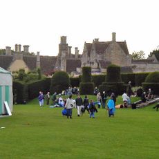
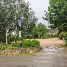
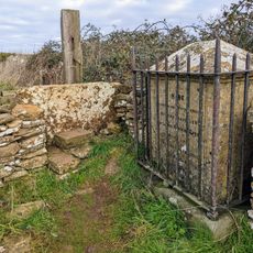
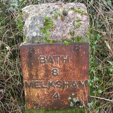
Visitors can explore the grounds using marked public pathways that provide access to different sections of the parkland. It is best to wear comfortable footwear and stay on designated routes to respect the property.
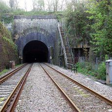
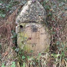
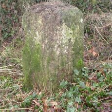
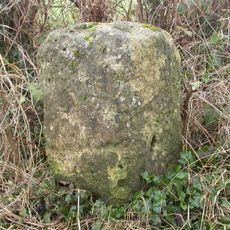
The property contains Park Lane Quarry, a Bath Stone mine dating from 1880 that was reopened in 2013 to resume extraction. The quarry continues a tradition of stone quarrying that has deep roots at this location.
Location: Corsham
GPS coordinates: 51.40300,-2.20000
Latest update: December 10, 2025 20:04
MoD Corsham
2.3 km
Hazelbury Manor
2.9 km
Gifford Hall
3 km
Christ Church
3 km
Church of St John the Baptist
2.7 km
Church of St Phillip and St James
1.1 km
Church of St Michael and All Angels
1.4 km
Congregational Chapel
2 km
Chapel Plaister
2.3 km
Pear Tree Inn
2.1 km
J H Speke Monument On Footpath To Lents Green, About 250 Metres North North West Of Wormwood Farmhouse
1.9 km
Potley Lane Bridge
2.5 km
Box Tunnel East Portal
2.3 km
The Clock Tower
1.1 km
The Grove
3.3 km
Cottles House
2 km
The White Hart
1.3 km
Bell House
2.3 km
Westlands Farmhouse
3.2 km
Corsham Further Education Centre
3.2 km
Milestone About 40 Metres South East Of Junction With Wadswick Lane
1.2 km
Milestone About 140 Metres North Of Junction With Lane To Box Hill
2.6 km
Milestone, Shaw; 65m E garden centre
2.1 km
Milestone On South Side, About 100 Metres South East Of Hatt Lane
2.5 km
Wormwood Farmhouse
1.7 km
Milestone At Intersection Of A365 And Kingsdown Road
2.3 km
Milestone, New House Farm; 25m W farmhouse
2.5 km
Milestone, Cock Road Plantation, Atworth; 225m W farm buildings
2.6 kmVisited this place? Tap the stars to rate it and share your experience / photos with the community! Try now! You can cancel it anytime.
Discover hidden gems everywhere you go!
From secret cafés to breathtaking viewpoints, skip the crowded tourist spots and find places that match your style. Our app makes it easy with voice search, smart filtering, route optimization, and insider tips from travelers worldwide. Download now for the complete mobile experience.
A unique approach to discovering new places❞
— Le Figaro
All the places worth exploring❞
— France Info
A tailor-made excursion in just a few clicks❞
— 20 Minutes