Chest opened
+${chestReward.xp} XP
Explorer
NOUVEAU ×${chestReward.collectible.quantity}
tapez pour fermer
Chest locked

Open chests in the app

Around Us is built for your phone — chests unlock when you walk, explore and capture nearby places.

Enable Location

We need your location to show you interesting places around you

Discover nearby places

Find interesting locations and hidden gems around you

Precise directions

Get accurate directions and distances to places

Your location is never shared with other users. It's only used when you tap the location button.

New Addington

Log in to your account

Start exploring — it's free

Trusted by 72,897 travelers worldwide

Continue with Google
Continue with Apple
or

We will send you a code to connect

By continuing, you accept our Terms and Conditions and our Privacy Policy

Check your inbox

We've sent a pincode in your inbox. Please enter the code below.

New Addington
Discussion Reviews 1 Photos
19.4k Popularity

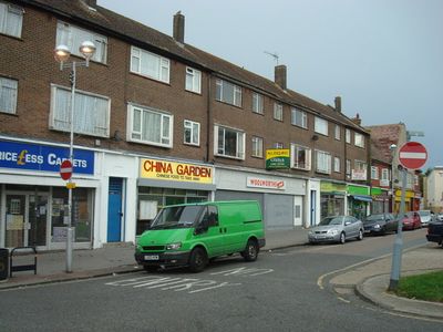
New Addington, Residential district in South London, United Kingdom.

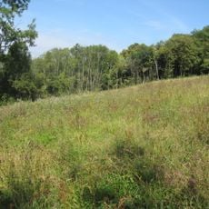
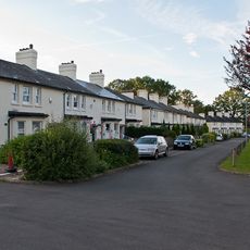
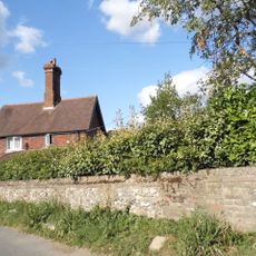
New Addington is a residential area in South London built on a steep slope that rises nearly 200 feet (60 meters) into the North Downs within the London Borough of Croydon. The area features a network of streets, residential blocks, and intentionally planned green spaces interspersed throughout the development.

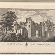
The First National Housing Trust purchased Fisher's Farm in 1935 to create a garden village and address overcrowding in Croydon's more urban areas. This project marked a turning point in dealing with housing shortages and reflected modern urban planning ideas of that era.

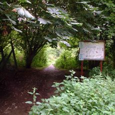
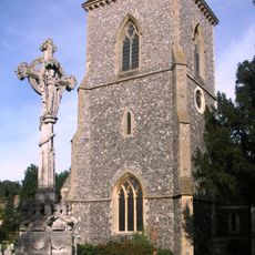
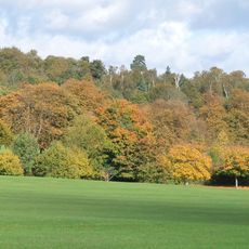
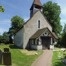
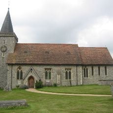
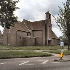
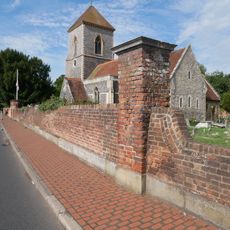
The area maintains large green spaces throughout its residential layout, with several community centers and places of worship like St Edward's Church. These open areas shape daily life for residents and create a sense of space between the houses.

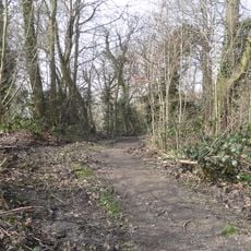
Three tram stops connect the area directly to Croydon and Wimbledon, with journeys of about 30 minutes to both destinations. The hilly terrain means some areas have steep paths, but the tram link makes it easy to explore the neighborhood.

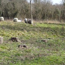
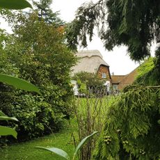
The area grew from farmland and woodland, with the original natural landscape intentionally preserved as green strips between the housing blocks. This approach to town development was innovative in the 1930s and continues to define how the place looks today.

The community of curious travelers

AroundUs brings together thousands of curated places, local tips, and hidden gems, enriched daily by 60,000 contributors worldwide.

Start exploring
GPS coordinates
51.34270,-0.01670
Latest update
December 7, 2025 10:07
Reviews
Share your experience

No review yet

Discussions
Start a discussion...

No discussion yet

« New Addington - Residential district in South London, United Kingdom » is provided by Around Us (aroundus.com). Images and texts are derived from Wikimedia project under a Creative Commons license. You are allowed to copy, distribute, and modify copies of this page, under the conditions set by the license, as long as this note is clearly visible.

Discover hidden gems everywhere you go!

From secret cafés to breathtaking viewpoints, skip the crowded tourist spots and find places that match your style. Our app makes it easy with voice search, smart filtering, route optimization, and insider tips from travelers worldwide. Download now for the complete mobile experience.

Around Us App Screenshot

A unique approach to discovering new places

Le Figaro

All the places worth exploring

France Info

A tailor-made excursion in just a few clicks

20 Minutes

Around Us
Travel Guide & Maps
Download

Send to your phone

QR Code
1

Open the camera app on your mobile.

2

Point at the QR code with your camera. A notification will appear.

3

Tap the notification to open the link.