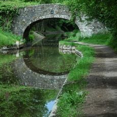
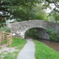
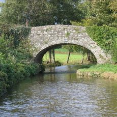
Mynydd Llangatwg, Limestone summit in Brecon Beacons National Park, Wales.
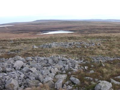
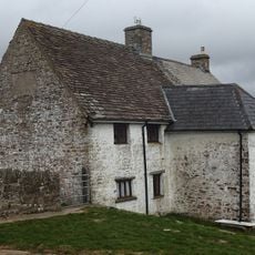
Mynydd Llangatwg is a limestone summit in Powys that rises to about 529 meters. The terrain displays a rolling plateau with limestone cliffs along the northern slope and various geological formations scattered across the landscape.
The hill contains multiple Neolithic stone cairns at Twr Pen-cyrn that point to early settlement. The northern slopes show traces of limestone quarrying and tramway construction dating from the 19th century.
The name Pwll Gwy-rhoc, known locally as the Witch's Pool, carries stories that echo through the area. Visitors encounter these spots as quiet places that stir the imagination.
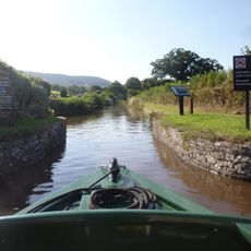
The hill is accessible via several walking routes branching from the B4560 road, running from north to south. Good footwear and weather protection are advisable, as the elevation and open terrain bring quick weather changes.
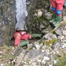
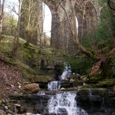
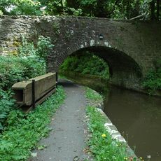
Beneath the hill lies one of Britain's most extensive cave systems, including Ogof y Daren Cilau and Ogof Agen Allwedd. These underground networks remained hidden for millennia and are explored by cave researchers today.
Location: Powys
Elevation above the sea: 528.9 m
Height: 529 m
GPS coordinates: 51.82360,-3.16670
Latest update: December 13, 2025 12:21
Ogof y Daren Cilau
1.1 km
Clydach Gorge
3.3 km
Crickhowell Bridge
4 km
Beaufort Theatre
3.8 km
Clydach House
3.7 km
Smart's Bridge
3.4 km
Parish Church of St Elli
3.5 km
Ty-uchaf Farmhouse Including Yard Wall And Stile Between House And Barn Range
3 km
Church Of St Cattwg
3.6 km
Bethesda Chapel
3.1 km
Horse Shoe Inn
3.5 km
Nant Dyar Railway Viaduct
4 km
Lower Yard Bridge (Canal Bridge No 114)
2.9 km
Former Pump House at Dunlop Semtex Factory
3.5 km
Market Hall Cinema
3 km
Bailey Street Congregational Chapel
3 km
Pont Llangattock (Canal Bridge No 116)↵aka Ffawyddog Bridge
3.4 km
Brynmawr and District Museum
2.8 km
Brynmawr Library
2.9 km
Three Arch Viaduct of former Merthyr, Tredegar and Abergavenny Railway
3.5 km
Bridge 107 over the Brecknock & Abergavenny Canal including Iron Sign
3.7 km
Bridge 106 over the Brecknock & Abergavenny Canal including Iron Sign
4.1 km
Park Bridge
3.1 km
Former Boiler House At Dunlop Semtex Factory
3.1 km
Pen-pedair-heol Bridge (Canal Bridge No 110)
3.3 km
Dark Bridge (Canal Bridge No 109)
3.6 km
Old Six Bells
3.6 km
Stop Lock, Monmouthshire and Brecon Canal
3.4 kmVisited this place? Tap the stars to rate it and share your experience / photos with the community! Try now! You can cancel it anytime.
Discover hidden gems everywhere you go!
From secret cafés to breathtaking viewpoints, skip the crowded tourist spots and find places that match your style. Our app makes it easy with voice search, smart filtering, route optimization, and insider tips from travelers worldwide. Download now for the complete mobile experience.
A unique approach to discovering new places❞
— Le Figaro
All the places worth exploring❞
— France Info
A tailor-made excursion in just a few clicks❞
— 20 Minutes