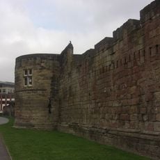
Newcastle town wall, Medieval city walls in Newcastle upon Tyne, England.
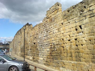
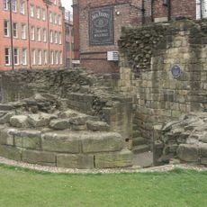
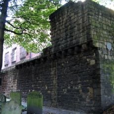
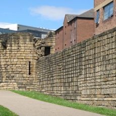
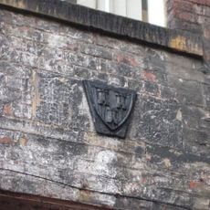
The Newcastle town wall is a medieval fortification extending roughly 2 kilometers around the city center, built from locally sourced stone. The structure features several defensive towers and gates that once protected the urban area.
Construction of the fortification began in 1265, financed through a special tax called murage. The completed wall reached approximately 7.6 meters high and 2 meters thick, serving the settlement's defense for centuries.
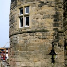
The Morden Tower served as a venue for poetry readings and literary events during the 20th century, giving the structure artistic significance beyond its defensive purpose. This role shows how the city transformed a medieval military building into a space for creative expression.
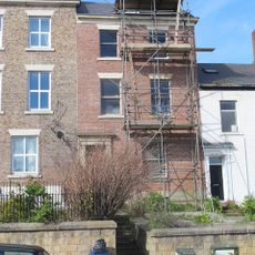
The remaining sections of the wall are accessible through marked walking paths with information panels explaining historical context. Visitors should wear comfortable shoes as the routes can be uneven and sometimes follow steeper slopes.
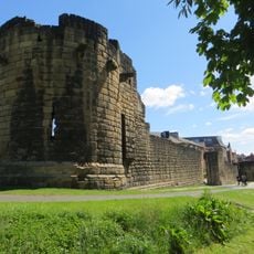
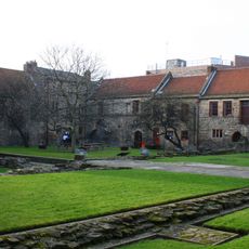
The western section contains three preserved towers called Herber, Morden, and Ever, which together form the longest continuous stretch of the medieval fortification. These three towers are rare examples of original construction and show different building phases.
The community of curious travelers
AroundUs brings together thousands of curated places, local tips, and hidden gems, enriched daily by 60,000 contributors worldwide.