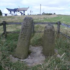
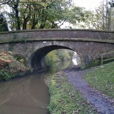
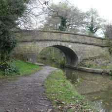
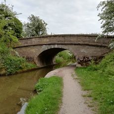
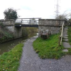
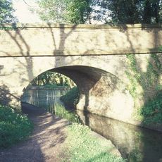
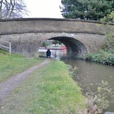
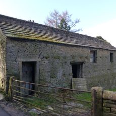
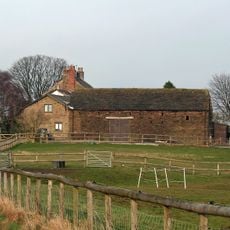
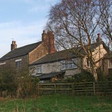
Pott Shrigley, village in Cheshire, England
Location: Cheshire East
Shares border with: Lyme Handley, Rainow
GPS coordinates: 53.30900,-2.08400
Latest update: March 12, 2025 13:16
Lyme Park
3.8 km
Shrigley Hall
731 m
The Bow Stones Anglian cross shafts
3.6 km
St Christopher's Church, Pott Shrigley
100 m
Lyme Park
3.8 km
Canal bridge number 22, 200 metres north west of Clark Green Farmhouse
1.7 km
Canal Bridge Number 19
2.1 km
Canal bridge number 23, 250 metres west of Winterford Farm
1.7 km
Bridge Number 17 over canal, north of Mitchelfold
2.9 km
Canal Bridge Number 21
1.9 km
Hamper's Bridge
3.9 km
Canal Bridge Number 20
1.8 km
The Orangery
3.8 km
Canal Bridge Number 18
2.6 km
Wellhead at centre of Lyme Park's courtyard
3.8 km
The Stables at Lyme Park
3.9 km
Gate piers, gates and railings, 48m north of north front of Lyme Park
3.8 km
College of Missionary Chapel
679 m
Barn and shippon at Hedgerow Farm
1.1 km
The Meat Safe; 20 metres North Of Orangery
3.8 km
Canal aqueduct over Shrigley Road
2.9 km
Macclesfield Canal stone fence posts north of Bridge No.20
1.8 km
Harestead Farmhouse
3.7 km
Corn barn 40 metres south of Green Farmhouse
3.2 km
Green Farmhouse
3.3 km
Terrace Wall And Steps In Front Of The Orangery
3.8 km
Terrace revetment walls, up to 50m to the west of Lyme Park
3.7 km
Bowl barrow at Ox Close
2.6 kmReviews
Visited this place? Tap the stars to rate it and share your experience / photos with the community! Try now! You can cancel it anytime.
Discover hidden gems everywhere you go!
From secret cafés to breathtaking viewpoints, skip the crowded tourist spots and find places that match your style. Our app makes it easy with voice search, smart filtering, route optimization, and insider tips from travelers worldwide. Download now for the complete mobile experience.
A unique approach to discovering new places❞
— Le Figaro
All the places worth exploring❞
— France Info
A tailor-made excursion in just a few clicks❞
— 20 Minutes