Radcliffe Observatory Quarter, University development area in central Oxford, England
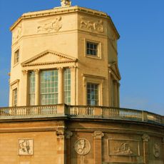
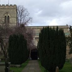
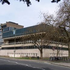
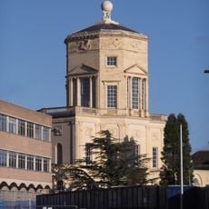
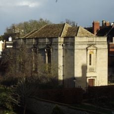
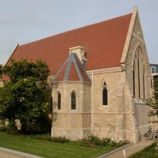
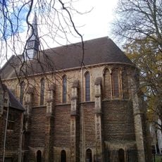
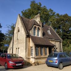
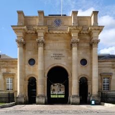
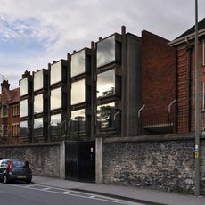
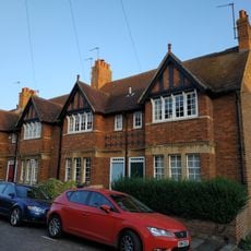
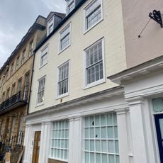
The Radcliffe Observatory Quarter is a university development area in central Oxford with modern research buildings and restored historical structures spread across roughly four hectares. The site connects Woodstock Road to Walton Street and houses the Mathematical Institute, the Blavatnik School of Government, and the Jericho Health Centre.
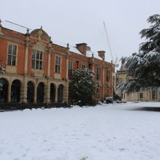
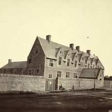
The site was home to the Radcliffe Hospital, a major regional medical center, until 2003. The University of Oxford then purchased the land and transformed it into a modern research quarter for campus growth.
The area shows how Oxford transformed a hospital site into a place for learning and discovery. Students and researchers now work in spaces where healing once took center stage.
The quarter is centrally located and easy to walk through, with improved pedestrian paths connecting the buildings. Weekdays offer a quieter experience for exploring the grounds and viewing the structures at your own pace.
Excavations at the site uncovered Bronze Age burial mounds and remains of Anglo-Saxon settlements beneath the modern buildings. These discoveries reveal that the area has been inhabited for thousands of years.
GPS coordinates: 51.76060,-1.26389
Latest update: December 10, 2025 20:09
Oxford Oratory
206 m
Radcliffe Observatory
22 m
Phoenix Picturehouse
192 m
St Giles' Church, Oxford
277 m
Somerville College Library
146 m
Denys Wilkinson Building
316 m
Tower of the Winds
31 m
Somerville College Chapel
146 m
Belsyre Court
169 m
Chapel Of St Luke, Radcliffe Infirmary
122 m
St Anthonys College, Chapel
270 m
North Lodge Of The University Parks
324 m
The University Printing House (the Clarendon Press)
227 m
Royal Oak Public House
153 m
Wolfson Building At Somerville College
219 m
St Anthonys College, Main Block
244 m
16-18, Plantation Road
304 m
Somerville College, Library
144 m
96-101, Walton Street
260 m
34-36, St Giles Street
313 m
28-31, St Bernard's Road
243 m
31, St Giles Street
284 m
15-19, Banbury Road
235 m
32, St Giles Street
291 m
Middle East Centre Archive, St Antony's College, University of Oxford
326 m
Stone In Woodstock Road Outside Number 12
230 m
2-14, Plantation Road
320 m
33 And 33A, St Giles Street
298 mVisited this place? Tap the stars to rate it and share your experience / photos with the community! Try now! You can cancel it anytime.
Discover hidden gems everywhere you go!
From secret cafés to breathtaking viewpoints, skip the crowded tourist spots and find places that match your style. Our app makes it easy with voice search, smart filtering, route optimization, and insider tips from travelers worldwide. Download now for the complete mobile experience.
A unique approach to discovering new places❞
— Le Figaro
All the places worth exploring❞
— France Info
A tailor-made excursion in just a few clicks❞
— 20 Minutes