Rochdale Castle, Norman fortress ruins in Rochdale, England
Rochdale Castle is a Norman fortress built on an elevated mound that overlooks the Roche valley, with a circular mound and rectangular outer enclosure defended by earthen walls and a ditch. The structure would have dominated the landscape for centuries as a visible fortification controlling the area below.
The fortress was built in the aftermath of the Norman conquest and is first documented in records from 1322. Over time it lost its military purpose and was gradually converted to civilian use by local residents.
The settlement grew around the fortress, which served as the administrative hub of the medieval community. Local people lived and worked in relation to this defensive structure, making it central to how the area was organized and understood.
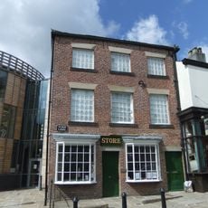
The site is now occupied by residential buildings from the 19th century and later structures that cover the original fortress grounds. What remains visible of the medieval fortification can be difficult to spot among the modern development on the hillside.
By 1626, civilian homes were being built directly on the abandoned and decaying castle site, with Gabriel Tayor's house serving as an early recorded example. This shift from fortress to residential use happened surprisingly quickly after the fortress lost its military function.
The community of curious travelers
AroundUs brings together thousands of curated places, local tips, and hidden gems, enriched daily by 60,000 contributors worldwide.