South Hampshire Coast, Protected coastal area in Hampshire, England
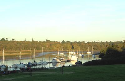
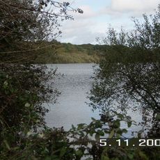
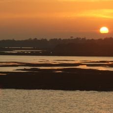
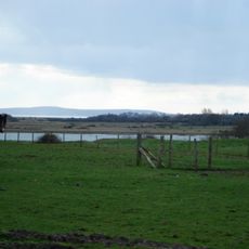
The South Hampshire Coast stretches between the New Forest and the Solent, featuring freshwater lagoons, salt marshes, tidal mudflats, and wooded lowlands right at the water's edge. This coastal section brings together several different natural habitats that support a wide range of wildlife.
This coastal region was recognized as an Area of Outstanding Natural Beauty in 2005 and later became part of the New Forest National Park. The protection status reflected growing awareness of the area's ecological importance.
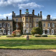
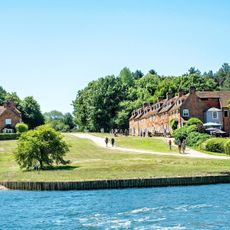
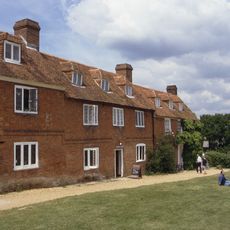
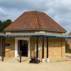
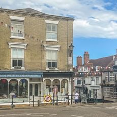
Buckler's Hard, a historic village within the area, reflects the maritime working tradition of the region and shows how shipbuilding shaped daily life for local communities.
The Solent Way footpath connects multiple nature reserves and provides numerous viewing points for watching wildlife along the coastline. The terrain is accessible on foot, with options to combine different routes depending on your interests and fitness level.
The entire coastline holds the designation of Sites of Special Scientific Interest due to its varied ecosystems and natural formations. This classification is reserved for only the most valuable natural areas, making it an especially protected stretch.
Location: Beaulieu
GPS coordinates: 50.76670,-1.46667
Latest update: December 14, 2025 11:24
Pylewell House
2.4 km
Lymington Open Air Sea Water Baths
4.6 km
Sowley Pond
316 m
Buckler's Hard
4.8 km
Hurst Castle And Lymington River Estuary
4.5 km
Church of St Mary
2.5 km
Church of St Paul
3.8 km
St Leonard's Chapel
3.3 km
Standwell House Hotel Stanwell House Hotel
5.2 km
Walhampton Arms, formerly farm building range at Home Farm
4.7 km
Burrard-Neale Memorial Gas Lamp
4.6 km
Burard-neale Monument
4.5 km
The King's Head Public House
5.1 km
80, 81 And 82
4.8 km
The Angel Hotel
5.3 km
Buckler's Hard Maritime Museum
4.8 km
Drinking Fountain
4.6 km
Walhampton House Walhampton School
4.5 km
Quay Hill Surface
5.1 km
No 1, 3 And 5 And Cast Iron Bollard Against No 1 At Junction Of Gosport Street And Quay Hill
5.1 km
No 6 And Band Of Stone Paving On West Sides
5.1 km
Lower Exbury Farm
4.8 km
16-18, High Street
5.2 km
Barn And Attached Farm Range 60 Metres South East Of Beufre Farmhouse
4.7 km
St Leonard's Barn
3.4 km
102 And 103, High Street
5.3 km
36 And 37, High Street
5.3 km
29, High Street
5.3 kmVisited this place? Tap the stars to rate it and share your experience / photos with the community! Try now! You can cancel it anytime.
Discover hidden gems everywhere you go!
From secret cafés to breathtaking viewpoints, skip the crowded tourist spots and find places that match your style. Our app makes it easy with voice search, smart filtering, route optimization, and insider tips from travelers worldwide. Download now for the complete mobile experience.
A unique approach to discovering new places❞
— Le Figaro
All the places worth exploring❞
— France Info
A tailor-made excursion in just a few clicks❞
— 20 Minutes