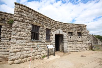
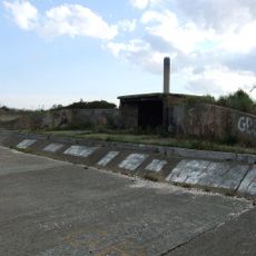
Slough Fort, Victorian coastal fort in Allhallows, England
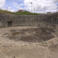
Slough Fort is a D-shaped military fortification in Allhallows, on the Thames estuary in Kent, England. It has seven gun casemates with vaulted brickwork, flanking wing batteries, and a series of connected interior rooms built for different military functions.
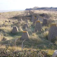
The fort was built in 1867 as part of a wider effort to protect the Thames estuary against a possible French invasion. It remained an active defense position for several decades before being decommissioned in 1920.
The name Slough Fort comes from the marshy ground on which it was built, a low-lying stretch of land along the Thames estuary in Kent. Visitors walking through the casemates can still see how the gun positions were angled to cover the river approach.
The fort is in Allhallows, a small village on the north Kent coast, and is easiest to reach by car. Wear sturdy footwear as the floors inside the casemates are uneven and can be damp.
The fort is now used as a base for paranormal investigation events, drawing a very different crowd from most historic military sites in England. Visitors on those nights walk through the same casemates with torches rather than in daylight, giving the rooms a different feel entirely.
The community of curious travelers
AroundUs brings together thousands of curated places, local tips, and hidden gems, enriched daily by 60,000 contributors worldwide.