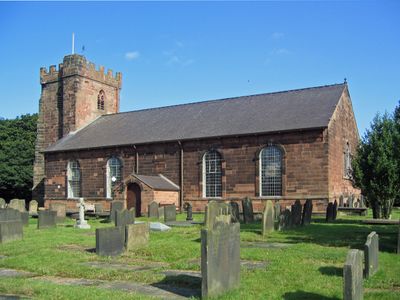
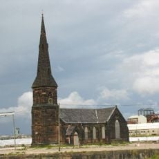
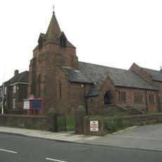
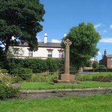
St Mary's Church, Hale, Anglican church in Hale, England
St Mary's Church is a religious building in Hale constructed of red sandstone with a slate roof, featuring a rectangular layout with a tower on its west side, a vestry to the northwest, and a porch facing south. The structure combines Gothic and Neoclassical design elements throughout its form.
The tower dates to the 1300s, while the main building was constructed between 1758 and 1759 to replace an older structure that had stood at this location. This rebuilding represented a major update to the parish's religious facilities.
The interior holds a font carved with cherubs dating back to the 1700s and an oak pulpit from the 1600s originally housed at York Minster. These pieces show the church's connections to other important religious places and its role in the local faith community.
The church serves as an active place of Anglican worship and is open to visitors interested in exploring its interior. Checking opening times beforehand is helpful, as access may vary depending on services or special events taking place.
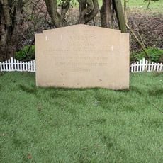
The churchyard contains the grave of John Middleton, known as the Childe of Hale, who was recorded as standing over 9 feet (2.7 m) in height. This unusual historical figure continues to draw visitor interest to this burial site.
The community of curious travelers
AroundUs brings together thousands of curated places, local tips, and hidden gems, enriched daily by 60,000 contributors worldwide.