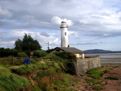
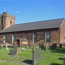
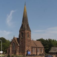
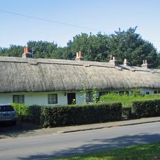
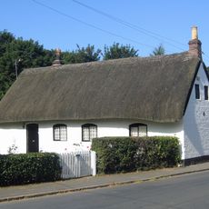
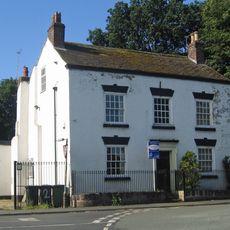
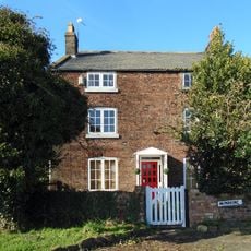
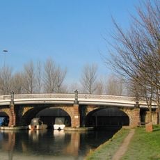
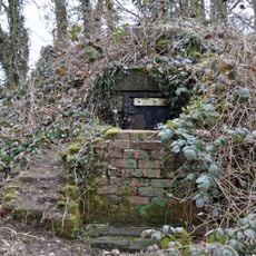
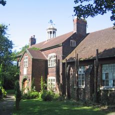
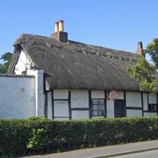
Hale, village and civil parish in Halton, Cheshire, England
Location: Halton
Shares border with: Ellesmere Port, Hale Bank, unparished part of Halton, Frodsham, Liverpool
GPS coordinates: 53.33673,-2.80007
Latest update: March 4, 2025 20:56
Finch Farm
2.5 km
Yellow Submarine
3.9 km
Hale Duck Decoy
1 km
St Mary's Church, Hale
571 m
Christ Church, Weston Point
2.7 km
Bridgewater House
3.7 km
Manor House, Hale
425 m
St John the Evangelist's Church, Weston
4.5 km
All Saints Church, Speke
3.9 km
St Ambrose's Church, Speke
1.8 km
Runcorn War Memorial
4.1 km
Runcorn signal box
4.1 km
Hale Head Lighthouse
1.6 km
16, 18 and 20, Church End
402 m
14, Church End
359 m
2 and 2A, Church End
222 m
Parklands Library
2.8 km
Yew Tree Farmhouse
2.6 km
Waterloo Bridge
4.1 km
Ice house 400 metres west of the former Hale Hall
663 m
Old School House
255 m
22, High Street
171 m
Lychgate of All Saints, Speke
3.9 km
Speke War Memorial
4 km
All Saints church hall, Speke
4 km
Gravestone of Blackie the war horse
2.6 km
Market Cross
4.5 km
Baileys Lane bridge
3.6 kmVisited this place? Tap the stars to rate it and share your experience / photos with the community! Try now! You can cancel it anytime.
Discover hidden gems everywhere you go!
From secret cafés to breathtaking viewpoints, skip the crowded tourist spots and find places that match your style. Our app makes it easy with voice search, smart filtering, route optimization, and insider tips from travelers worldwide. Download now for the complete mobile experience.
A unique approach to discovering new places❞
— Le Figaro
All the places worth exploring❞
— France Info
A tailor-made excursion in just a few clicks❞
— 20 Minutes