Enable Location

We need your location to show you interesting places around you

Discover nearby places

Find interesting locations and hidden gems around you

Precise directions

Get accurate directions and distances to places

Your location is never shared with other users. It's only used when you tap the location button.

Staffordshire Way

Log in to your account

Start exploring — it's free

Trusted by 63,631 travelers worldwide

Continue with Google
Continue with Apple
or

We will send you a code to connect

By continuing, you accept our Terms and Conditions and our Privacy Policy

Check your inbox

We've sent a pincode in your inbox. Please enter the code below.

Staffordshire Way
Discussion Reviews 1 Photos
2.9k Popularity

Staffordshire Way, Long-distance footpath in Staffordshire, England

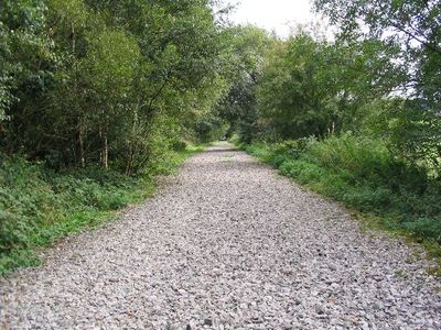
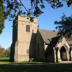
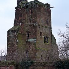
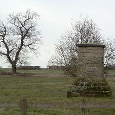
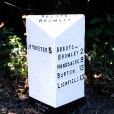
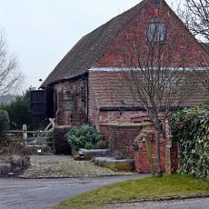
The Staffordshire Way is a long-distance trail stretching about 92 miles through the county, linking different landscapes from moorland hills to quiet woodlands and open spaces. The route follows various paths including old footways and green lanes, passing historic sites like castle ruins, abandoned watermills, and sandstone caves, while the scenery shifts between rugged terrain and peaceful river valleys.

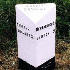
The trail follows routes used for centuries by merchants and traders moving goods across the region, and passes through areas once shaped by mining and industry. It begins near Mow Cop with its stone castle folly overlooking the moorlands, and ends at Kinver Edge where sandstone caves once served as dwellings for local people.

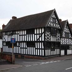
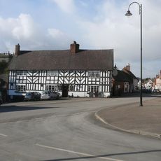
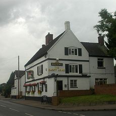
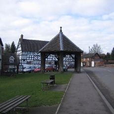
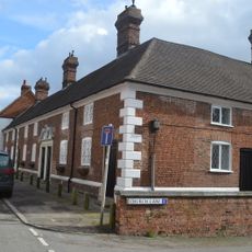
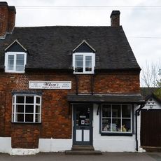
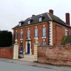
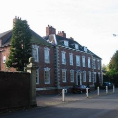
The trail connects communities that were linked for centuries through old trading routes. Today, walkers regularly stop in villages along the way to chat with residents and visit traditional pubs and shops that have served the area for generations.

The trail is open year-round and mostly accessible, though the ground can become muddy after rain, so sturdy shoes and waterproof clothing are essential. You can access the route from various points and walk the entire distance or just selected sections, many of which link to local bus services for flexible planning.

Cannock Chase features a rough heathland that turns purple in late summer when heather blooms, creating a striking natural display. This wild area regularly attracts deer, birds, and other wildlife that move through the low shrubs and open ground.

The community of curious travelers

AroundUs brings together thousands of curated places, local tips, and hidden gems, enriched daily by 60,000 contributors worldwide.

Start exploring
Location
GPS coordinates
52.80470,-1.88980
Latest update
February 9, 2026 08:23
Around this place
Blithfield Hall
United Kingdom

Blithfield Hall

3.2 km
Hoar Cross Hall
United Kingdom

Hoar Cross Hall

4.8 km
Church of St Michael and All Angels, Hamstall Ridware
United Kingdom

Church of St Michael and All Angels, Hamstall Ridware

4.8 km
Church of St Leonard, Blithfield
United Kingdom

Church of St Leonard, Blithfield

3.3 km
Church of St Mary
United Kingdom

Church of St Mary

3.8 km
Church of St Nicholas
United Kingdom

Church of St Nicholas

1.6 km
Church House
United Kingdom

Church House

1.7 km
The Goats Head Inn
United Kingdom

The Goats Head Inn

1.6 km
Abbots Bromley War Memorial
United Kingdom

Abbots Bromley War Memorial

1.6 km
Tower and attached walls at Hamstall Hall
United Kingdom

Tower and attached walls at Hamstall Hall

4.7 km
Bagot's Bromley Monument Approximately 250 Yards South East Of Bagot's Bromley Farmhouse
United Kingdom

Bagot's Bromley Monument Approximately 250 Yards South East Of Bagot's Bromley Farmhouse

3 km
Goats Lodge
United Kingdom

Goats Lodge

3.3 km
The Bagot Arms
United Kingdom

The Bagot Arms

1.7 km
The Butter Cross
United Kingdom

The Butter Cross

1.6 km
The Bagot Almhouses
United Kingdom

The Bagot Almhouses

1.7 km
Milepost At Ngr Sk 11482460
United Kingdom

Milepost At Ngr Sk 11482460

4.3 km
Croft's House, Forecourt Wall And Railings
United Kingdom

Croft's House, Forecourt Wall And Railings

1.7 km
Premises Of V G Wilson Butcher
United Kingdom

Premises Of V G Wilson Butcher

1.7 km
Milepost At Ngr Sk 09982420
United Kingdom

Milepost At Ngr Sk 09982420

2.7 km
Milepost At Ngr Sk 06912666
United Kingdom

Milepost At Ngr Sk 06912666

3.7 km
The Old Rectory And Attached Walls And Gate Piers
United Kingdom

The Old Rectory And Attached Walls And Gate Piers

4.8 km
Barn And Attached Wall Approximately 100 Yards West Of Hamstall Hall
United Kingdom

Barn And Attached Wall Approximately 100 Yards West Of Hamstall Hall

4.7 km
Churchyard Cross Approximately 10 Yards South West Of South Aisle Of Church Of St Michael And All Angels
United Kingdom

Churchyard Cross Approximately 10 Yards South West Of South Aisle Of Church Of St Michael And All Angels

4.8 km
Colton House
United Kingdom

Colton House

3.7 km
Milepost At Ngr Sk 08382435
United Kingdom

Milepost At Ngr Sk 08382435

1.6 km
Milepost At Ngr Sk 08652289
United Kingdom

Milepost At Ngr Sk 08652289

1.2 km
Gatehouse and attached courtyard walls at Hamstall Hall
United Kingdom

Gatehouse and attached courtyard walls at Hamstall Hall

4.7 km
Milepost, Blithbury
United Kingdom

Milepost, Blithbury

3.1 km
Show the full map
Reviews
Share your experience

No review yet

Discussions
Start a discussion...

No discussion yet

« Staffordshire Way - Long-distance footpath in Staffordshire, England » is provided by Around Us (aroundus.com). Images and texts are derived from Wikimedia project under a Creative Commons license. You are allowed to copy, distribute, and modify copies of this page, under the conditions set by the license, as long as this note is clearly visible.

Discover hidden gems everywhere you go!

From secret cafés to breathtaking viewpoints, skip the crowded tourist spots and find places that match your style. Our app makes it easy with voice search, smart filtering, route optimization, and insider tips from travelers worldwide. Download now for the complete mobile experience.

Around Us App Screenshot

A unique approach to discovering new places

Le Figaro

All the places worth exploring

France Info

A tailor-made excursion in just a few clicks

20 Minutes

Around Us
Travel Guide & Maps
Download

Send to your phone

QR Code
1

Open the camera app on your mobile.

2

Point at the QR code with your camera. A notification will appear.

3

Tap the notification to open the link.