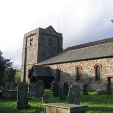
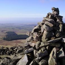
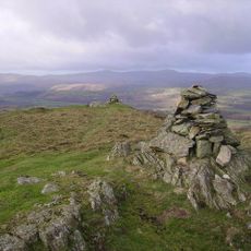
Stickle Pike, Mountain summit in Dunnerdale-with-Seathwaite, United Kingdom.
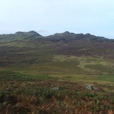
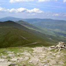
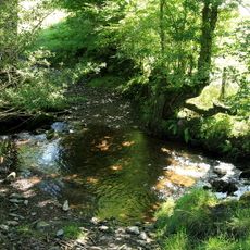
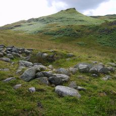
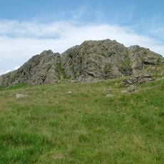
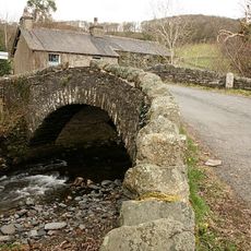
Stickle Pike is a mountain in the Lake District that rises to about 375 meters with steep slopes and rocky outcrops set in open moorland. The summit area offers expansive views across the Dunnerdale Valley and surrounding fell landscapes.
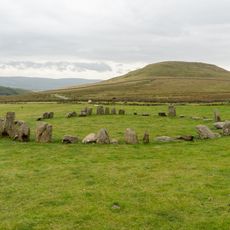
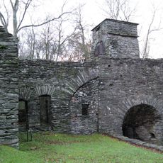
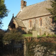
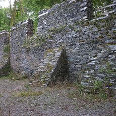
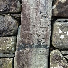
The mountain has a long history of human use, with shepherds grazing livestock on these slopes for centuries. Traces of old settlements and farming patterns reveal medieval communities who worked the landscape.
Local shepherds maintain traditional farming practices on the mountain slopes, continuing centuries-old methods of land management and sheep herding.
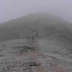
Several marked trails lead up to the summit from Dunnerdale Valley, with parking available nearby. Spring through early autumn offers the best conditions for walking, when the weather is most settled and paths are generally drier.
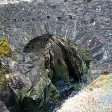
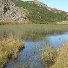
The mountain was shaped during the last ice age and displays distinctive rock formations along with rare mineral deposits that make it geologically special. These geological features are visible to visitors and contribute to the raw, natural character of the peak.
Location: Dunnerdale-with-Seathwaite
Elevation above the sea: 375 m
GPS coordinates: 54.32450,-3.21318
Latest update: December 14, 2025 17:42
Swinside
6.1 km
Birks Bridge
6.9 km
Green Crag
5.6 km
Duddon furnace
4.7 km
St Mary Magdalene's Church, Broughton-in-Furness
5.4 km
Blacksmiths Arms
2.5 km
Brown Pike
6.2 km
Holy Trinity Church, Seathwaite
3.8 km
Stainton Pike
6 km
Blawith Knott
6.5 km
St John the Evangelist's Church, Woodland
5.1 km
Buck Pike
6.7 km
Dunnerdale Beck
2.4 km
Hare Hall Beck
1.1 km
Church of St John
1.5 km
Broughton Tower Special School
4.9 km
Old King's Head Public House
5.3 km
Black Cock Inn
5.3 km
Obelisk And Stocks
5.2 km
Duddon Bridge
4.8 km
Dike, circles and cairns on Bleaberry Haws
5.8 km
Charcoal Barns To West Of Duddon Iron Furnace
4.8 km
Ulpha Bridge (That Part In Dunnerdale With Seathwaite Cp)
1.6 km
Great Crag prehistoric cairnfield and associated field system 710m south east of Birkerthwaite
5.6 km
Shop Bridge And Boundary Stone
2.3 km
Broughton-in-Furness War Memorial
5.4 km
Milestone, Kirkby Pool, West Wreaks Causeway Bridge
6.9 km
Milestone, Church Street, opp. Piel House
5.3 kmVisited this place? Tap the stars to rate it and share your experience / photos with the community! Try now! You can cancel it anytime.
Discover hidden gems everywhere you go!
From secret cafés to breathtaking viewpoints, skip the crowded tourist spots and find places that match your style. Our app makes it easy with voice search, smart filtering, route optimization, and insider tips from travelers worldwide. Download now for the complete mobile experience.
A unique approach to discovering new places❞
— Le Figaro
All the places worth exploring❞
— France Info
A tailor-made excursion in just a few clicks❞
— 20 Minutes