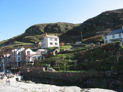
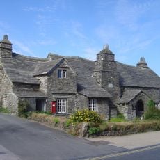
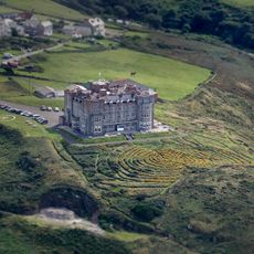
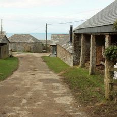
Trebarwith Strand, Coastal hamlet in Tintagel, United Kingdom
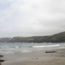
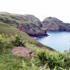
Trebarwith Strand is a coastal hamlet in Tintagel on North Cornwall's shore, situated beside a wide sandy cove. The beach is framed by steep cliff faces and reveals a large expanse of sand at low tide.
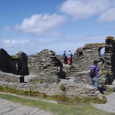
The area became an important slate quarrying center from the 15th century, with operations extracting stone between the beach and the nearby castle. The extracted material was shipped out through local ports and supported the regional economy.
The hamlet's name comes from Cornish roots reflecting its connection to the shoreline and maritime heritage. Visitors can spot traces of old quarrying operations in the cliff faces, which remain a visible part of the landscape today.
Access to the beach is limited at high tide, so check the tide times before planning a visit. Swimming should only happen when lifeguards are on duty during the designated beach patrol hours.
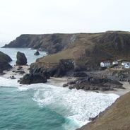
Gull Rock, a natural formation about 300 meters offshore, serves as a nesting site and shelter for seabirds and defines the marine landscape. This rocky island changes its appearance depending on the tide and attracts birdwatchers.
The community of curious travelers
AroundUs brings together thousands of curated places, local tips, and hidden gems, enriched daily by 60,000 contributors worldwide.