Thurstaston Common, Protected natural area in Wirral Peninsula, England.
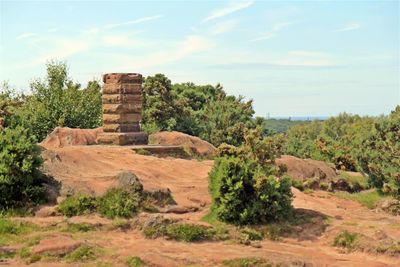
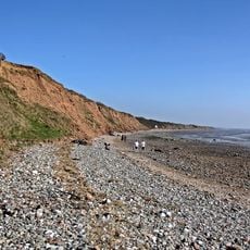
Thurstaston Common is a Site of Special Scientific Interest on the Wirral Peninsula in northwest England, made up of open heathland, scattered woodland, and grassy clearings. The land sits on sandstone bedrock, and the mix of dry and wet heath areas supports a varied range of plant communities across the site.
The site was designated as a Site of Special Scientific Interest in 1954, placing its biological and geological features under formal protection. Before that, the land had been used as common grazing ground for centuries, which helped shape the open heath we see today.
The sandstone outcrops scattered across the heath are a feature that visitors naturally stop to touch and explore. Children often climb the rocks while adults follow worn paths through the heather, a pattern of use that has continued across many generations.
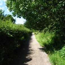
The site has several walking paths that cross through heathland, woodland edges, and open grassland, with routes suited to both short walks and longer outings. Footwear with a firm sole is a good idea, as parts of the ground can get soft and wet after rain.
Two species of carnivorous sundew plant grow here, which is rare for this part of England. Both catch insects using sticky droplets on their leaves, and they are small enough that most visitors walk right past them without noticing they are there.
The community of curious travelers
AroundUs brings together thousands of curated places, local tips, and hidden gems, enriched daily by 60,000 contributors worldwide.