Wirral Country Park, Natural park in Wirral Peninsula, England.
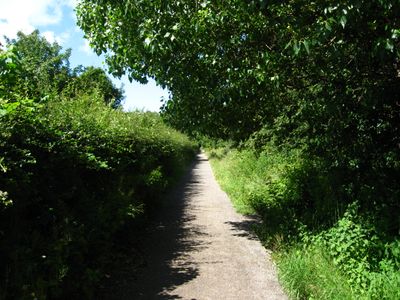
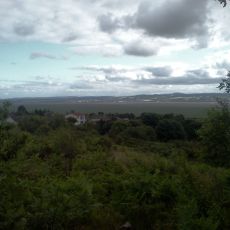
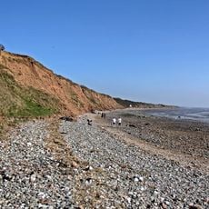
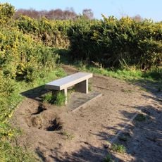
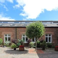
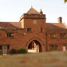
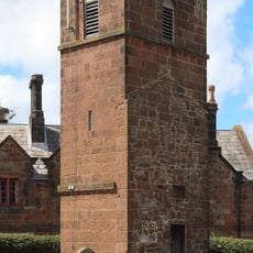
Wirral Country Park is a coastal park along the Dee Estuary that brings together woodlands, wetlands, and shoreline areas across several kilometers. The site features interconnected pathways that guide visitors through different habitats and landscapes, each with its own character and wildlife.
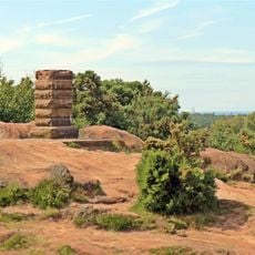
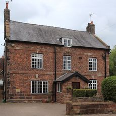
The park opened in 1973 as the first designated country park in Britain, marking a new approach to public land use. The site was created by repurposing an old railway corridor, with portions of the original rail infrastructure preserved within the transformed landscape.
The park serves as a place where local residents and visitors enjoy outdoor activities across its various zones, with footpaths and routes that have become familiar to many who return throughout the year. The mix of woodland, wetland, and coastal areas creates different moods for each section, encouraging people to explore at their own pace.
The park can be explored on foot, by bicycle, or on horseback with separate routes available for each activity. Weather-appropriate clothing is recommended as conditions can vary by season, and a visitor center offers information and basic facilities to help you plan your time there.
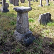
The park preserves sections of its former railway infrastructure, including a station building from the 1950s that now sits among natural habitats. These structures tell the story of how an old transport corridor was transformed into a place for outdoor recreation.
The community of curious travelers
AroundUs brings together thousands of curated places, local tips, and hidden gems, enriched daily by 60,000 contributors worldwide.