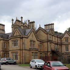
Irby Hall, Grade II listed manor house in Wirral, England
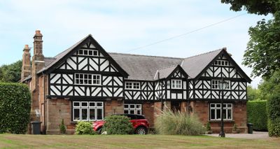
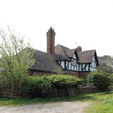
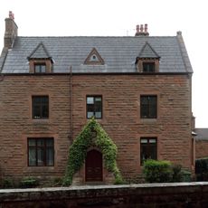
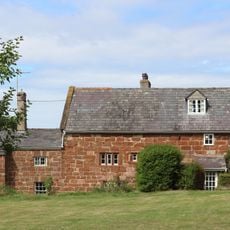
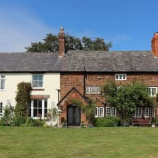
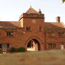
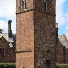
Irby Hall is a manor house with a rectangular layout built from stone, featuring an entrance facade that was redesigned in 1888 and traditional period windows. The building sits within expansive grounds defined by a dry moat, which follows the outline of medieval defensive works.
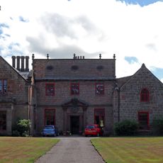
The current structure was built in the early 17th century, replacing an older manor and courthouse that had served as a property of St Werburgh Abbey since medieval times. This shift marked the transition from monastic control to private ownership in the area.
The name hints at early settlement patterns in this region and reflects the way such manor houses served as centers of local authority and agricultural management. Walking around it today, you can sense how this building anchored the social order of its medieval and early modern landscape.
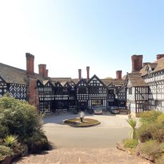
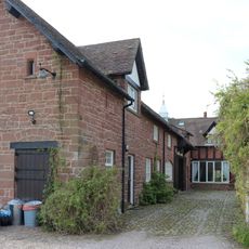
The property is set within wide grounds enclosed by a dry moat and can be explored using marked pathways maintained by local heritage groups. The layout makes it easy to walk around the perimeter and observe the surrounding earthworks from different angles.
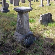
The site preserves its original outer bank and moat system from medieval times, features that are protected as part of a scheduled monument. These earthworks give visitors a rare glimpse of how such estates were once fortified and separated from the surrounding landscape.
The community of curious travelers
AroundUs brings together thousands of curated places, local tips, and hidden gems, enriched daily by 60,000 contributors worldwide.