Chest opened
+${chestReward.xp} XP
Explorer
NOUVEAU ×${chestReward.collectible.quantity}
tapez pour fermer

See the monuments around you in AR Open chests in the app

Around Us is built for your phone — point your camera at the streets and discover the monuments and places around you in augmented reality. Around Us is built for your phone — chests unlock when you walk, explore and capture nearby places.

•

Enable Location

We need your location to show you interesting places around you

Discover nearby places

Find interesting locations and hidden gems around you

Precise directions

Get accurate directions and distances to places

Your location is never shared with other users. It's only used when you tap the location button.

Urra Moor

Log in to your account

Start exploring — it's free

Trusted by 94,521 travelers worldwide

Continue with Google
Continue with Apple
or

We will send you a code to connect

By continuing, you accept our Terms and Conditions and our Privacy Policy

Check your inbox

We've sent a pincode in your inbox. Please enter the code below.

Urra Moor, Moorland hill in North Yorkshire, United Kingdom

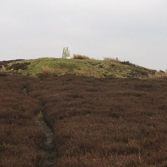
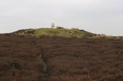
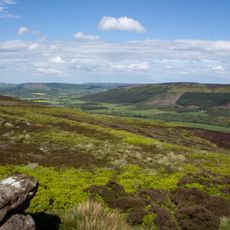
Urra Moor is a moorland hill in North Yorkshire, United Kingdom, rising to 454 meters. It forms part of the North York Moors and is covered in heather, rough grass, and peat, with wide views across the surrounding dales.

Urra Moor was once part of a large royal hunting forest in the Middle Ages. Later, lead mining and quarrying left traces that can still be seen in the landscape.

The name Urra is thought to come from Old English, and the moor has long been used for grouse shooting and sheep grazing. Walkers today follow tracks worn by centuries of foot traffic and see shooting butts dotting the slopes.

Paths across the moor can be muddy and exposed, so sturdy footwear and weather-ready clothing are wise. Navigation skills help in mist, and the nearest facilities are in nearby villages.

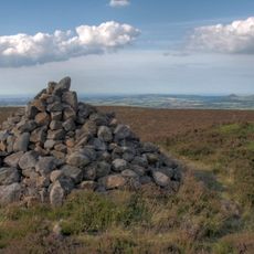
The moor is home to the remains of a prehistoric stone circle and burial cairns, showing people have used this land for thousands of years. On clear days, the summit offers a view stretching to the coast and the Pennines.

The community of curious travelers

AroundUs brings together thousands of curated places, local tips, and hidden gems, enriched daily by 94,521 contributors worldwide.
Start exploring
Location
Location
Elevation above the sea
454 m
GPS coordinates
54.40550,-1.08642
Latest update
November 10, 2026 08:25
Around this place
Cleveland Hills
United Kingdom

Cleveland Hills

4.7 mi
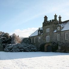
Easby Hall
United Kingdom

Easby Hall

4.6 mi
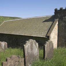
Church of St Nicholas
United Kingdom

Church of St Nicholas

2.5 mi
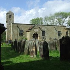
Church of St Andrew
United Kingdom

Church of St Andrew

3.1 mi
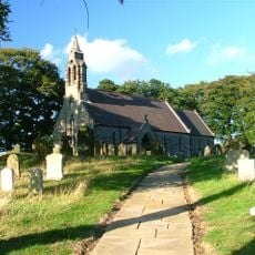
Church of St Hilda
United Kingdom

Church of St Hilda

1.8 mi
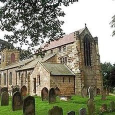
Church of St Augustine
United Kingdom

Church of St Augustine

4.5 mi
Wayside cross known as Jenny Bradley 1000m north west of Bloworth Crossing on Greenhow Moor
United Kingdom

Wayside cross known as Jenny Bradley 1000m north west of Bloworth Crossing on Greenhow Moor

1.2 mi
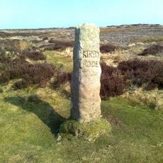
Guidestone
United Kingdom

Guidestone

3.8 mi
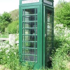
Green K6 Telephone Kiosk At Fangdale Beck Junction
United Kingdom

Green K6 Telephone Kiosk At Fangdale Beck Junction

4.5 mi
Guidestone
United Kingdom

Guidestone

3.9 mi
Meynell Hall
United Kingdom

Meynell Hall

3.5 mi
Ingleby Manor
United Kingdom

Ingleby Manor

2.7 mi
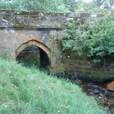
Baysdale Abbey Bridge
United Kingdom

Baysdale Abbey Bridge

3.7 mi
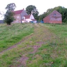
Riddings Farmhouse
United Kingdom

Riddings Farmhouse

4.6 mi
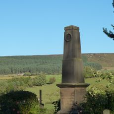
Chop Gate WWI Memorial
United Kingdom

Chop Gate WWI Memorial

2.4 mi
Cockan Cross wayside cross 600m west of Fox Hole Crag
United Kingdom

Cockan Cross wayside cross 600m west of Fox Hole Crag

2.8 mi
Golden Heights round cairn and wayside cross on Rudland Rigg
United Kingdom

Golden Heights round cairn and wayside cross on Rudland Rigg

4.6 mi
Wayside cross known as Baysdale Cross on Middle Head Intake 1000m south west of Baysdale Abbey
United Kingdom

Wayside cross known as Baysdale Cross on Middle Head Intake 1000m south west of Baysdale Abbey

2.9 mi
Wayside cross known as Stump Cross on Bransdale Ridge
United Kingdom

Wayside cross known as Stump Cross on Bransdale Ridge

2.2 mi
Green Howe round barrow
United Kingdom

Green Howe round barrow

3.8 mi
Round barrow at Drake Howe
United Kingdom

Round barrow at Drake Howe

3.6 mi
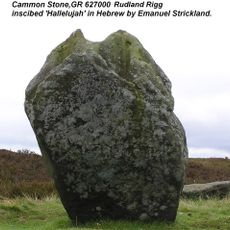
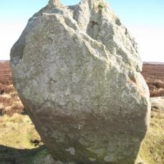
Cammon Stone
United Kingdom

Cammon Stone

2.2 mi
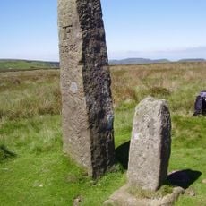
Bloworth Guidestone
United Kingdom

Bloworth Guidestone

1.4 mi
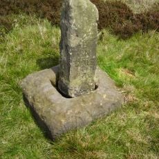
Jenny Bradley Stone
United Kingdom

Jenny Bradley Stone

1.2 mi
Burton Howe round barrow
United Kingdom

Burton Howe round barrow

1.4 mi
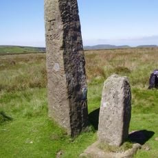
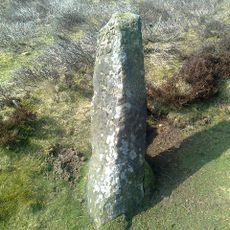
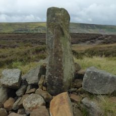
Guidestone, The Hand Stone, Round Hill, Urra Moor
United Kingdom

Guidestone, The Hand Stone, Round Hill, Urra Moor

100 ft
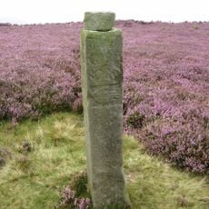
Guidestone, Handstone, Ingleby Moor, Greenhow Bank
United Kingdom

Guidestone, Handstone, Ingleby Moor, Greenhow Bank

1.8 mi
Guidestone, Cammon Stone, Rudland Rigg
United Kingdom

Guidestone, Cammon Stone, Rudland Rigg

2.2 mi
Show the full map
Reviews
Share your experience

No review yet

Discussions
Start a discussion...

No discussion yet

« Urra Moor - Moorland hill in North Yorkshire, United Kingdom » is provided by Around Us (aroundus.com). Images and texts are derived from Wikimedia project under a Creative Commons license. You are allowed to copy, distribute, and modify copies of this page, under the conditions set by the license, as long as this note is clearly visible.

Discover hidden gems everywhere you go!

From secret cafés to breathtaking viewpoints, skip the crowded tourist spots and find places that match your style. Our app makes it easy with voice search, smart filtering, route optimization, and insider tips from travelers worldwide. Download now for the complete mobile experience.
Around Us App Screenshot
❝

A unique approach to discovering new places❞

— Le Figaro

❝

All the places worth exploring❞

— France Info

❝

A tailor-made excursion in just a few clicks❞

— 20 Minutes

Around Us
Travel Guide & Maps
Download

Send to your phone

QR Code
1

Open the camera app on your mobile.

2

Point at the QR code with your camera. A notification will appear.

3

Tap the notification to open the link.