Tyttenhanger House, English country house in Ridge, England
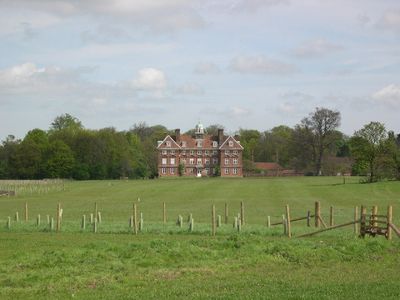
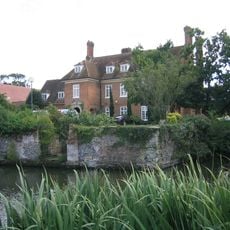
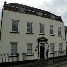
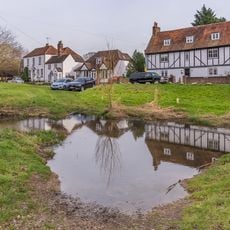
Tyttenhanger House is a three-story country house in Ridge, Hertfordshire, built in the 17th century, with nine window bays, two projecting side wings, and a small belfry at the center of the roofline. The building is a Grade I listed structure and currently operates as private office space.
The estate originally belonged to St Albans Abbey and passed to Sir Thomas Pope in 1547 after the Dissolution of the Monasteries under Henry VIII. The current building replaced an earlier structure on the same site and was constructed later in the 17th century.
The house displays a symmetrical front with evenly spaced windows and a small central belfry that breaks the roofline in an unexpected way. From the outside, visitors can still read the classical geometry that shaped so many country houses of its era.
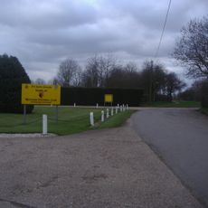
The property is a private office building and is not open to visitors, but the historic exterior can be seen from the road. The area is rural, so getting there by car is the most straightforward option.
Henry VIII and Anne Boleyn took refuge here during the sweating sickness outbreak of 1528, fleeing London as the illness spread through the city. This connection to a royal flight from plague makes the house a rare footnote in Tudor personal history, far from any palace.
The community of curious travelers
AroundUs brings together thousands of curated places, local tips, and hidden gems, enriched daily by 60,000 contributors worldwide.