WWT Martin Mere, Nature reserve in West Lancashire, England
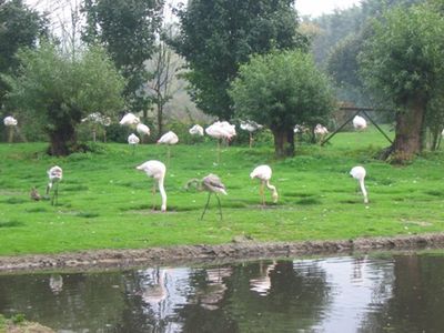
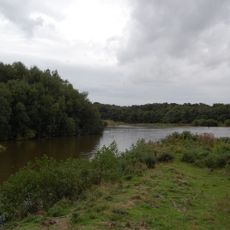
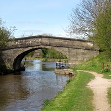
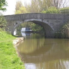
WWT Martin Mere is a nature reserve in Northwest England comprising shallow wetlands with lakes, channels, and ponds distributed across the grounds. The landscape includes walking paths and viewing hides positioned to allow visitors to observe birds and other animals without disturbing them.
The area was once an intensively drained and farmed landscape until restoration efforts in the 1970s converted it back into a functioning wetland habitat. This recovery allowed bird populations and other wetland species to return and establish themselves again on the land.
The site hosts birdwatchers and nature enthusiasts who come regularly to follow seasonal changes and observe the animals in their natural state. For local residents, it represents a place where they can directly experience wildlife and understand how different species depend on wetland habitats.
The site is easy to reach by car with free parking available and level paths suitable for most visitors to navigate independently. Wearing sturdy footwear is recommended, especially after rainfall when paths may become muddy.
The site serves as a winter home for several thousand pink-footed geese and whooper swans that travel from northern regions and gather visibly across the open waters. This convergence of so many birds in one location during colder months transforms the landscape into something quite different from its warmer season appearance.
The community of curious travelers
AroundUs brings together thousands of curated places, local tips, and hidden gems, enriched daily by 60,000 contributors worldwide.