Chest opened
+${chestReward.xp} XP
Explorer
NOUVEAU ×${chestReward.collectible.quantity}
tapez pour fermer
Chest locked

Open chests in the app

Around Us is built for your phone — chests unlock when you walk, explore and capture nearby places.

Enable Location

We need your location to show you interesting places around you

Discover nearby places

Find interesting locations and hidden gems around you

Precise directions

Get accurate directions and distances to places

Your location is never shared with other users. It's only used when you tap the location button.

Log in to your account

Start exploring — it's free

Trusted by 73,104 travelers worldwide

Continue with Google
Continue with Apple
or

We will send you a code to connect

By continuing, you accept our Terms and Conditions and our Privacy Policy

Check your inbox

We've sent a pincode in your inbox. Please enter the code below.

West Riding of Lindsey
Discussion Reviews Photo
1.3k Popularity

West Riding of Lindsey, Historical administrative division in Lincolnshire, England.

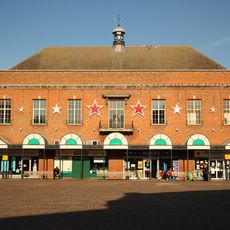
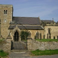
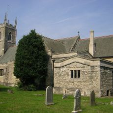
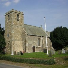
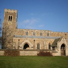
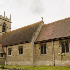
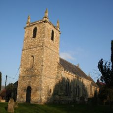
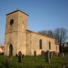
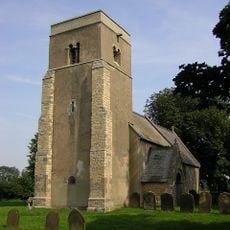
The West Riding of Lindsey was a historic administrative division in northwestern Lincolnshire that covered a substantial rural area divided into smaller districts called wapentakes. The region included important market towns and farming communities spread across clay valleys and higher ground marked by a notable limestone ridge.

The West Riding originated from the ancient kingdom of Lindsey and maintained its administrative structure across several centuries. A major change occurred in 1409 when the city of Lincoln gained independence as a county corporate, separating itself from the riding's authority.

The riding's name reflected the ancient kingdom of Lindsey that once dominated this part of England, with communities scattered across farmland and small market towns. Local people organized their affairs through these established administrative arrangements, using them to manage everything from land disputes to trade matters.

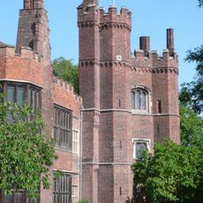
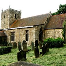
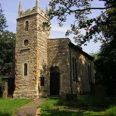
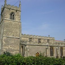
Visitors can explore the former administrative center at Spital-in-the-Street to understand how local governance functioned, along with surviving market towns that marked the region's importance. The area remains largely rural and is best explored by understanding the layout of northern Lincolnshire first to navigate the scattered historic sites.

The area was shaped by a prominent limestone ridge that rose distinctly above the flat, fertile clay valleys and dominated the local landscape. This geological feature influenced settlement patterns and travel routes across generations.

The community of curious travelers

AroundUs brings together thousands of curated places, local tips, and hidden gems, enriched daily by 60,000 contributors worldwide.

Start exploring
GPS coordinates
53.40000,-0.70000
Latest update
December 14, 2025 18:12
Reviews
Share your experience

No review yet

Discussions
Start a discussion...

No discussion yet

« West Riding of Lindsey - Historical administrative division in Lincolnshire, England » is provided by Around Us (aroundus.com). Images and texts are derived from Wikimedia project under a Creative Commons license. You are allowed to copy, distribute, and modify copies of this page, under the conditions set by the license, as long as this note is clearly visible.

Discover hidden gems everywhere you go!

From secret cafés to breathtaking viewpoints, skip the crowded tourist spots and find places that match your style. Our app makes it easy with voice search, smart filtering, route optimization, and insider tips from travelers worldwide. Download now for the complete mobile experience.

Around Us App Screenshot

A unique approach to discovering new places

Le Figaro

All the places worth exploring

France Info

A tailor-made excursion in just a few clicks

20 Minutes

Around Us
Travel Guide & Maps
Download

Send to your phone

QR Code
1

Open the camera app on your mobile.

2

Point at the QR code with your camera. A notification will appear.

3

Tap the notification to open the link.