Warwickshire ring, Canal ring in Warwickshire, United Kingdom.
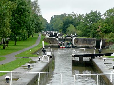
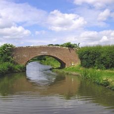
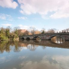
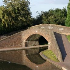
The Warwickshire Ring is a circular canal route in the English Midlands that links four waterways and passes through open countryside as well as town centers. The route includes dozens of locks that raise or lower boats as the elevation of the waterways changes along the way.
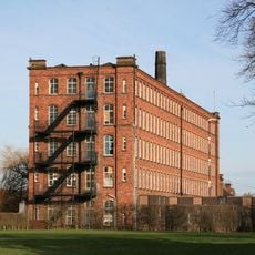
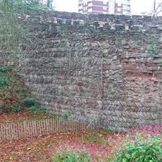
The route was formed by connecting several canals built in the 18th and early 19th centuries to carry goods between industrial towns across the Midlands. When the railways arrived, freight traffic on the waterways declined sharply, but the canals were never filled in and eventually found a new life as leisure routes.
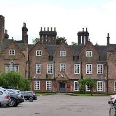
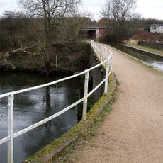
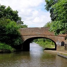
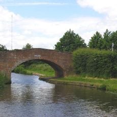
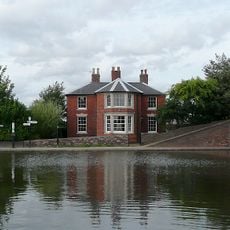
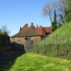
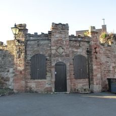
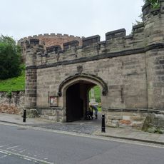
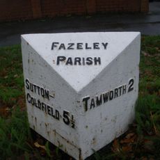
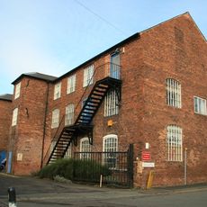
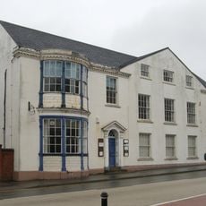
Along the route, visitors pass old warehouses and canal-side pubs that have been part of waterway life for generations. In some towns, the canal runs right through the center, and locals walk, cycle, or moor their boats nearby as part of everyday life.
Completing the full ring by narrowboat usually takes around two weeks, though it can be done in sections if you have less time. Moving at a slow pace works in your favor here, since operating each lock takes time and there is plenty to see at every stop.
At Sutton Stop, where two main canals meet, boats must make one of the tightest turns in the British canal network, and even experienced steerers find it demanding. The spot has become well known among boaters, and people sometimes gather on the bank just to watch others attempt the maneuver.
The community of curious travelers
AroundUs brings together thousands of curated places, local tips, and hidden gems, enriched daily by 60,000 contributors worldwide.