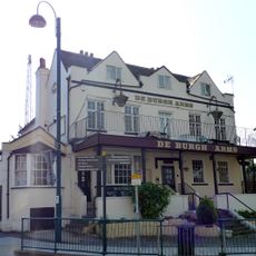
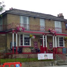
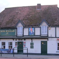
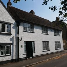
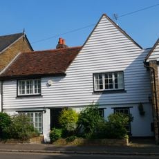
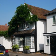
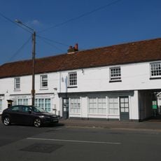
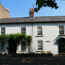
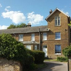
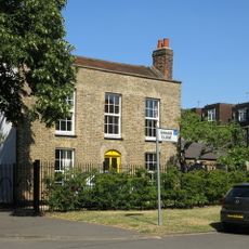
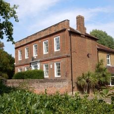
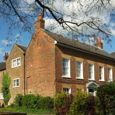
West Drayton, Residential district in Hillingdon, United Kingdom
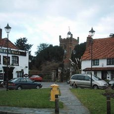
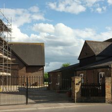
West Drayton is a residential area in the London Borough of Hillingdon, with homes spread along the Great Western Main Line railway corridor and local shops serving everyday needs. The district has a suburban character with tree-lined streets and small community centers that form the heart of neighborhood life.
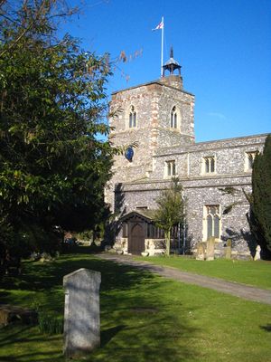
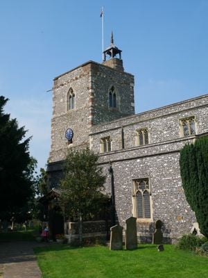
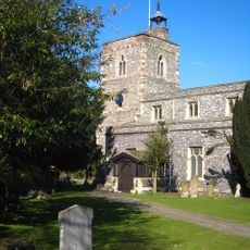
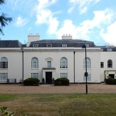
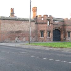
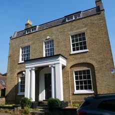
King Æthelstan granted the Manor of West Drayton to St Paul's Cathedral in 939, establishing its importance in Middlesex from early times. This royal gift made the area a significant church holding that lasted for centuries.
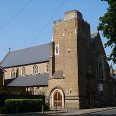
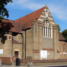
Irish families who arrived in the 1840s shaped the community's character and left their mark through St Catherine's Church, which still serves the Catholic population today. Walking through the area, you can sense how this heritage continues to define local identity.
Direct train connections to London Paddington serve the area via the Great Western Main Line, making commuting straightforward for residents. The location near Heathrow Airport offers convenient access for those needing to travel quickly in or out of the region.
A former RAF facility once operated here as both a military and civilian air traffic control center, shaping the area's modern history. The base closed in 2008, leaving behind a space that had guided aircraft movements for decades.
The community of curious travelers
AroundUs brings together thousands of curated places, local tips, and hidden gems, enriched daily by 60,000 contributors worldwide.