Berry Head Lighthouse, Coastal lighthouse at Berry Head, Brixham, United Kingdom.
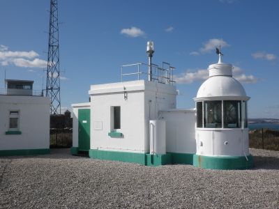
Berry Head Lighthouse is a small white stone tower on a limestone headland on the Devon coast in southwest England. The tower itself stands only 5 meters tall, but the cliff beneath it places the light high above the water, making it visible far out to sea.
The tower was built in 1906 by Thomas Matthews for Trinity House, the authority responsible for lighthouses around England and Wales. It originally ran on gas, and later changes converted it to the automated system that operates today.
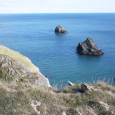
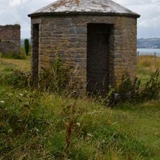
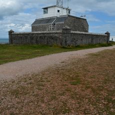
Berry Head Lighthouse sits inside a nature reserve where visitors can walk along limestone cliffs and past old military earthworks on the same short path. The mix of coastal scenery and stone fortifications gives the headland a layered character that is easy to read as you walk through it.
The lighthouse is reached on foot through the nature reserve, with a car park near the entrance to the headland. The site is open and exposed to wind, so wearing a warm layer is a good idea even in summer.
At just 5 meters, this is one of the shortest lighthouse towers operated by Trinity House in England, yet its cliff position gives it one of the highest light elevations in the entire network. The gap between the tower's modest height and the light's actual reach above sea level is striking enough to be mentioned in lighthouse reference guides.
The community of curious travelers
AroundUs brings together thousands of curated places, local tips, and hidden gems, enriched daily by 60,000 contributors worldwide.