
Kidmore End, village and civil parish in South Oxfordshire district, Oxfordshire, England
Location: South Oxfordshire
Shares border with: Checkendon, Eye and Dunsden, Sonning Common, Rotherfield Peppard, Woodcote, Goring Heath, Mapledurham
Website: https://kepc.co.uk
GPS coordinates: 51.50900,-0.99500
Latest update: March 8, 2025 08:11
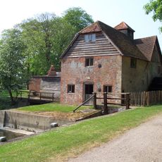
Mapledurham Watermill
3.9 km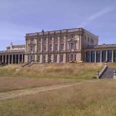
Caversham Park
4 km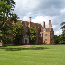
Mapledurham House
3.9 km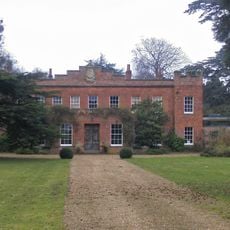
Crowsley Park
3 km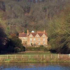
Hardwick House
4.2 km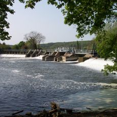
Mapledurham Lock
4.1 km
Clayfield Copse
3.5 km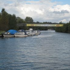
Reading Festival Bridge
4.8 km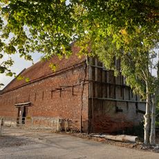
Chazey Court Barn
4.3 km
Appletree Eyot
4.9 km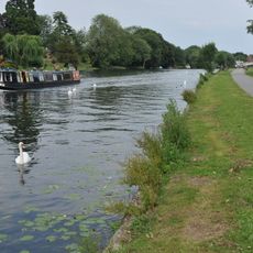
Thameside Promenade
4.6 km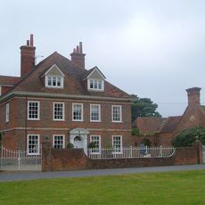
Kidmore House
881 m
Poplar Island
4.9 km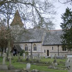
Church of All Saints
2.6 km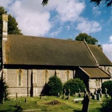
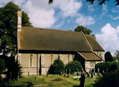
Church of St John the Baptist, Kidmore End
56 m
Church of St Margaret and Bardolf Aisle
3.9 km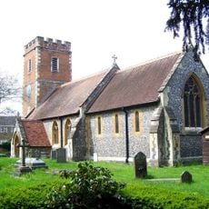
Church of St Mary
4.5 km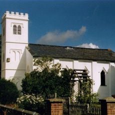
Grace Church
4.1 km
Old Grove House
3.1 km
The Church of Christ the King
1.4 km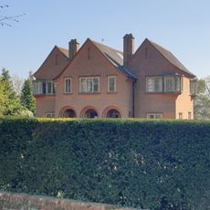
Four Corners
4.1 km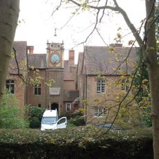
Hardwick House Dower House Approximately 5 Metres West
4.2 km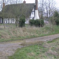
Three Chimneys
3 km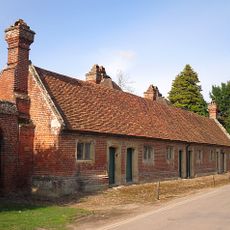
The Almshouse
3.8 km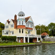
Isomer
4.4 km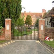
Mapledurham WWII Memorial Gates
3.9 km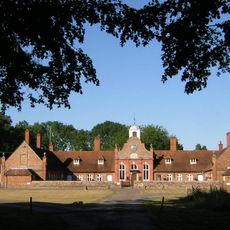
Alnutts Hospital And Attached Forecourt Walls And Gate
4.1 km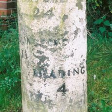
Milestone At Su 6582 7618
5.1 kmVisited this place? Tap the stars to rate it and share your experience / photos with the community! Try now! You can cancel it anytime.
Discover hidden gems everywhere you go!
From secret cafés to breathtaking viewpoints, skip the crowded tourist spots and find places that match your style. Our app makes it easy with voice search, smart filtering, route optimization, and insider tips from travelers worldwide. Download now for the complete mobile experience.

A unique approach to discovering new places❞
— Le Figaro
All the places worth exploring❞
— France Info
A tailor-made excursion in just a few clicks❞
— 20 Minutes