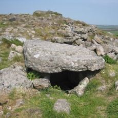
Maen Castle, Iron Age promontory fort in Sennen, England
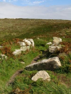
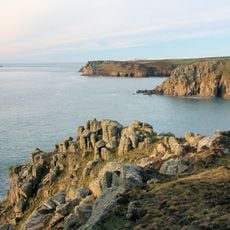
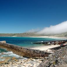
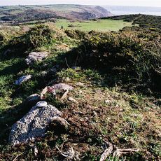
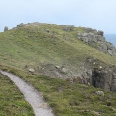
Maen Castle is an Iron Age promontory fort near Sennen in Cornwall, built to control the coastal headland. The site uses natural rock faces combined with man-made ramparts to create a heavily defended position overlooking the sea.
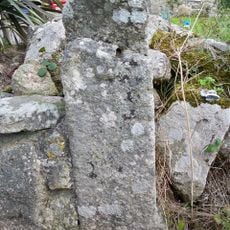
The fort was built during the early Iron Age when such fortifications served as critical trading centers. Archaeological finds show the site remained occupied and defended across multiple centuries.
The site shows how Iron Age communities organized their coastal settlements and protected them from threats. Walking here, you can sense how this location commanded views of important sea routes.
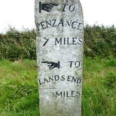
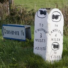
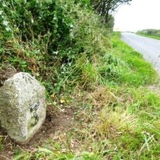
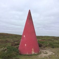
The site is accessible on foot with open pathways across the headland offering views on both sides of the coast. Visitors should expect windy conditions and wear sturdy footwear, as the ground is uneven and exposed.
The site preserves rare pottery from a very early Iron Age period found at only a handful of locations in the region. These artifacts help researchers understand when and how people first fortified these coastal areas.
Location: Sennen
GPS coordinates: 50.07272,-5.70804
Latest update: December 13, 2025 11:46
Longships Lighthouse
2.8 km
St Sennen's Church, Sennen
961 m
Porthgwarra to Pordenack Point
3.5 km
Chapel Carn Brea Tomb
4.4 km
First And Last Inn
952 m
First And Last House
715 m
Guidepost At Sw364262
1.7 km
Porthgwarra Beach
4.7 km
Roskestal Farmhouse, Including Front Garden Walls And Gate-Piers
4.1 km
Capstan Cottage
604 m
Breakwater, Adjoining Slipway And Retaining Walls
640 m
Milestone on the north side of the B3315 in the boundary wall entrance to Trevescan Farm Café
1.2 km
Milestone At Sw362261
1.5 km
Milestone At Junction Of A30 And B3306
3.1 km
Brea Milestone On B3306 South East Of St Just Aerodrome
4.3 km
Tinker Taylor
626 m
Round cairn on Carn Polpry
4.2 km
Cross at approximately 20 metres west of Trebehor Farmhouse
3.2 km
Milestone At Sw377233
3.5 km
Black/White Runnel Stone daymark
4.5 km
Wayside cross in St Sennen's churchyard, 6m north of the church
951 m
Milestone On The A30, Circa 100M W Of The Drive To Trevedra Farm
2.9 km
Cross At Sw378223
4.6 km
Barn And Adjoining Outbuilding At Aproximately 40 Metres North-North-East Of Roskestal Farmhouse
4.1 km
Wayside cross-head in St Sennen's churchyard, 10m south of the church
963 m
Red Runnel Stone daymark
4.6 km
Carn Les Boel
2.7 km
The Round House
615 mVisited this place? Tap the stars to rate it and share your experience / photos with the community! Try now! You can cancel it anytime.
Discover hidden gems everywhere you go!
From secret cafés to breathtaking viewpoints, skip the crowded tourist spots and find places that match your style. Our app makes it easy with voice search, smart filtering, route optimization, and insider tips from travelers worldwide. Download now for the complete mobile experience.
A unique approach to discovering new places❞
— Le Figaro
All the places worth exploring❞
— France Info
A tailor-made excursion in just a few clicks❞
— 20 Minutes