Porthgwarra to Pordenack Point

Log in to your account

AroundUs is a community-driven map of interesting places, built by curious explorers like you. It grows with every review, story, and photo you share.
Connect to save your favorite spots, contribute locations, and create personalized routes.
Continue with Google
Continue with Apple
Continue with X
Continue with Facebook
Continue with email
By continuing, you accept our Terms and Conditions and our Privacy Policy
Create an account

Porthgwarra to Pordenack Point

Add to collection
Map
Suggest a change
Share

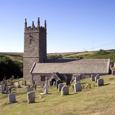
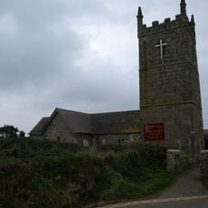
Porthgwarra to Pordenack Point, Site of Special Scientific Interest in Cornwall, United Kingdom.

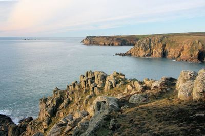
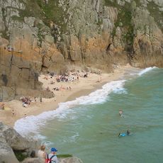
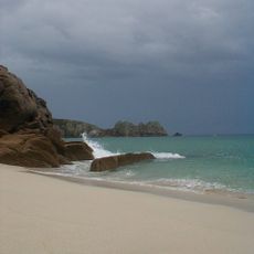
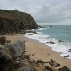
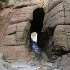
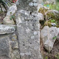
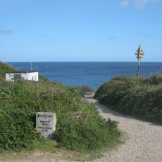
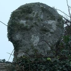
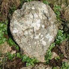
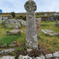
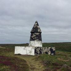
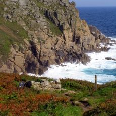
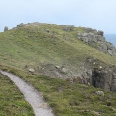
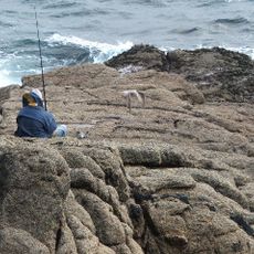
Porthgwarra to Pordenack Point is a protected site covering about 158 hectares of coastal land in Cornwall with granite cliffs, maritime heath vegetation, and diverse geological features. The landscape contains multiple habitats that support varied wildlife populations.

The site received official recognition in 1977 as a protected area of special scientific value. This designation acknowledged its importance for environmental conservation and biodiversity.

Bird watchers use the area throughout the year to observe migratory birds and seasonal movement patterns. The site has become an important gathering place for nature enthusiasts studying coastal wildlife.

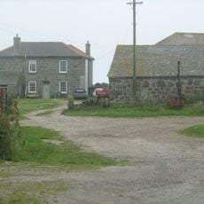
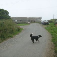
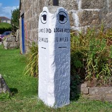
Access is via the South West Coast Path, with parking available near Porthgwarra village and several designated viewing areas along the route. Wear sturdy footwear and exercise caution during wet or windy weather when walking the trails.

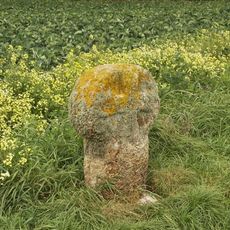
The area hosts a rare perennial plant rediscovered in 2010 after nearly 50 years without record in Cornwall. This botanical rediscovery makes the location particularly notable for plant enthusiasts.

GPS coordinates: 50.04440,-5.68660

Latest update: December 14, 2025 18:42

Photos
Around this place
Pedn Vounder
United Kingdom

Pedn Vounder

3.2 km
Museum of Global Communications
United Kingdom

Museum of Global Communications

2.3 km
Runnel Stone
United Kingdom

Runnel Stone

1.8 km
St Levan's Church, St Levan
United Kingdom

St Levan's Church, St Levan

1.9 km
St Sennen's Church, Sennen
United Kingdom

St Sennen's Church, Sennen

3 km
First And Last Inn
United Kingdom

First And Last Inn

3 km
Porthcurno Beach
United Kingdom

Porthcurno Beach

2.6 km
Porthchapel Beach
United Kingdom

Porthchapel Beach

2.1 km
Porthgwarra Beach
United Kingdom

Porthgwarra Beach

1.3 km
Roskestal Farmhouse, Including Front Garden Walls And Gate-Piers
United Kingdom

Roskestal Farmhouse, Including Front Garden Walls And Gate-Piers

1 km
Porthgwarra Ullies
United Kingdom

Porthgwarra Ullies

1.3 km
Cross 150m south west of Rospletha
United Kingdom

Cross 150m south west of Rospletha

2.1 km
Milestone on the north side of the B3315 in the boundary wall entrance to Trevescan Farm Café
United Kingdom

Milestone on the north side of the B3315 in the boundary wall entrance to Trevescan Farm Café

2.4 km
Cable Hut At Porthcurno Telegraph Station
United Kingdom

Cable Hut At Porthcurno Telegraph Station

2.5 km
Wayside cross in St Levan churchyard, 10m north east of the church
United Kingdom

Wayside cross in St Levan churchyard, 10m north east of the church

1.9 km
Cross At Sw378223
United Kingdom

Cross At Sw378223

1.6 km
Churchyard cross in St Levan churchyard, 10m south of the church
United Kingdom

Churchyard cross in St Levan churchyard, 10m south of the church

1.9 km
Black/White Runnel Stone daymark
United Kingdom

Black/White Runnel Stone daymark

1.1 km
World War Ii Tunnels At Porthcurno Telegraph Station
United Kingdom

World War Ii Tunnels At Porthcurno Telegraph Station

2.3 km
Barn And Adjoining Outbuilding At Aproximately 40 Metres North-North-East Of Roskestal Farmhouse
United Kingdom

Barn And Adjoining Outbuilding At Aproximately 40 Metres North-North-East Of Roskestal Farmhouse

1 km
Holy well 30m north west of St Levan's Chapel
United Kingdom

Holy well 30m north west of St Levan's Chapel

2 km
Carn Les Boel
United Kingdom

Carn Les Boel

873 m
Cross at approximately 20 metres west of Trebehor Farmhouse
United Kingdom

Cross at approximately 20 metres west of Trebehor Farmhouse

2.3 km
Red Runnel Stone daymark
United Kingdom

Red Runnel Stone daymark

1.1 km
Minack Point
United Kingdom

Minack Point

2.6 km
Milestone At Sw377233
United Kingdom

Milestone At Sw377233

1.9 km
Wayside cross in St Sennen's churchyard, 6m north of the church
United Kingdom

Wayside cross in St Sennen's churchyard, 6m north of the church

3 km
Wayside cross-head in St Sennen's churchyard, 10m south of the church
United Kingdom

Wayside cross-head in St Sennen's churchyard, 10m south of the church

3 km
Show the full map
Reviews

Visited this place? Tap the stars to rate it and share your experience / photos with the community! Try now! You can cancel it anytime.

« Porthgwarra to Pordenack Point - Site of Special Scientific Interest in Cornwall, United Kingdom » is provided by Around Us (aroundus.com). Images and texts are derived from Wikimedia project under a Creative Commons license. You are allowed to copy, distribute, and modify copies of this page, under the conditions set by the license, as long as this note is clearly visible.

Discover hidden gems everywhere you go!

From secret cafés to breathtaking viewpoints, skip the crowded tourist spots and find places that match your style. Our app makes it easy with voice search, smart filtering, route optimization, and insider tips from travelers worldwide. Download now for the complete mobile experience.

Around Us App Screenshot

A unique approach to discovering new places

Le Figaro

All the places worth exploring

France Info

A tailor-made excursion in just a few clicks

20 Minutes