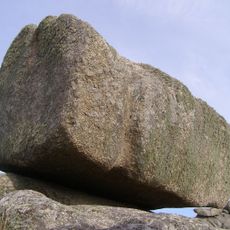
Runnel Stone, Rock formation near Gwennap Head, Cornwall, Great Britain
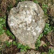
The Runnel Stone is a submerged rock pinnacle located about one nautical mile south of Gwennap Head off the Cornish coast. The formation protrudes from the seafloor and rises significantly enough to pose a hazard to vessels in the area.
The reef caused at least 30 major shipwrecks between 1880 and 1923, including the SS City of Westminster which struck the rocks with tremendous force. This period marked the peak of maritime disaster along this section of coast before modern navigation systems were introduced.
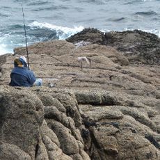
The Runnel Stone represents a protected marine zone where the local fishing community and conservationists work together to manage the waters. This balance between tradition and protection shapes how people view the coastal waters today.
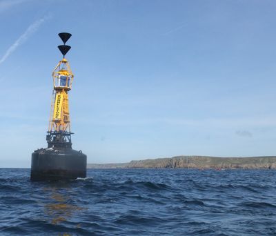
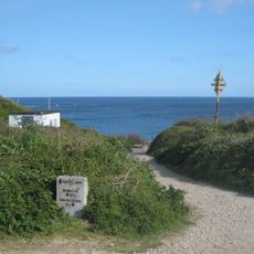
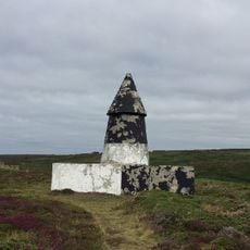
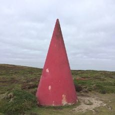
The area is marked by navigation buoys and markers maintained by Trinity House to alert passing vessels to the danger. Visitors interested in diving should plan for strong currents and tides that move swiftly around the rock formation.
Multiple shipwrecks rest on the seafloor around the rocks, creating an underwater graveyard that tells the story of maritime tragedy. Diving enthusiasts can explore these preserved remains and encounter the diverse marine life that now inhabits them.
GPS coordinates: 50.03000,-5.67500
Latest update: December 12, 2025 14:25
Logan Rock
3 km
Pedn Vounder
2.8 km
Museum of Global Communications
2.1 km
Treen Cliff
3.1 km
Treryn Dinas
3 km
St Levan's Church, St Levan
1.8 km
Porthgwarra to Pordenack Point
1.8 km
Cripp's Cove
3.1 km
Porthcurno Beach
2.3 km
The Logan Rock Inn
3.3 km
Porthchapel Beach
1.6 km
Roskestal Farmhouse, Including Front Garden Walls And Gate-Piers
1.6 km
Porthgwarra Beach
835 m
Porthgwarra Ullies
831 m
Cross 150m south west of Rospletha
1.9 km
Cable Hut At Porthcurno Telegraph Station
2.3 km
Wayside cross in St Levan churchyard, 10m north east of the church
1.7 km
Holy well 30m north west of St Levan's Chapel
1.6 km
Milestone At Sw377233
3 km
Carn Les Boel
2.7 km
Barn And Adjoining Outbuilding At Aproximately 40 Metres North-North-East Of Roskestal Farmhouse
1.6 km
Cross At Sw378223
1.7 km
Black/White Runnel Stone daymark
830 m
Red Runnel Stone daymark
763 m
Minack Point
2.1 km
Churchyard cross in St Levan churchyard, 10m south of the church
1.7 km
World War Ii Tunnels At Porthcurno Telegraph Station
2.4 kmVisited this place? Tap the stars to rate it and share your experience / photos with the community! Try now! You can cancel it anytime.
Discover hidden gems everywhere you go!
From secret cafés to breathtaking viewpoints, skip the crowded tourist spots and find places that match your style. Our app makes it easy with voice search, smart filtering, route optimization, and insider tips from travelers worldwide. Download now for the complete mobile experience.
A unique approach to discovering new places❞
— Le Figaro
All the places worth exploring❞
— France Info
A tailor-made excursion in just a few clicks❞
— 20 Minutes