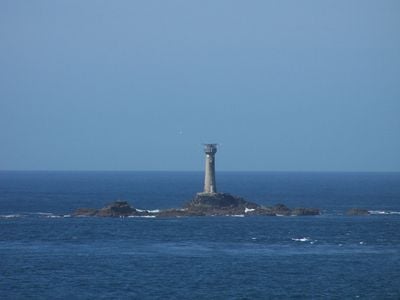
Longships Lighthouse, Granite lighthouse at Land's End, England
Longships Lighthouse is a granite structure standing on a small rocky island off the coast of Cornwall in southwestern England. The tower rises approximately 35 meters and sits about 2 kilometers from the mainland, making it a key navigation marker for passing vessels.
An earlier lighthouse operated at this location from 1795 to guide ships away from the dangerous rocks. The current granite tower was built between 1869 and 1873, replacing the older structure with a stronger, more durable design.
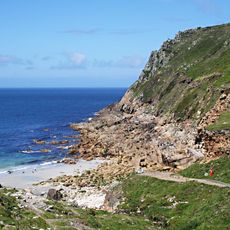
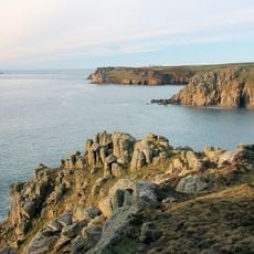
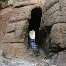
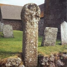
The name comes from the treacherous rocks surrounding the location, which sailors called the Longships. Visitors today can see the rocky coastline and understand why this spot was so vital for safe passage at sea.
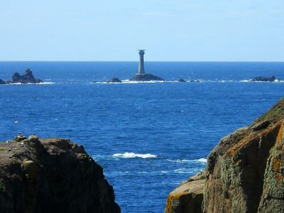
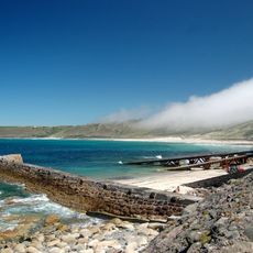
The lighthouse is visible from the nearby coast and offers good views of the rocky landscape and open sea. Weather conditions matter most for viewing the structure and surrounding waters clearly from shore.
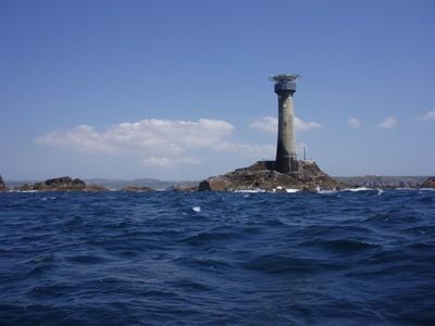
Since 2005, the lighthouse has operated entirely on solar power, making it one of few self-sufficient lighthouses in Britain. Many visitors traveling along the coast do not realize that this modern energy system keeps the beacon running today.
Location: Sennen
Inception: 1875
Height: 35 m
Made from material: stone, granite
GPS coordinates: 50.06686,-5.74677
Latest update: December 8, 2025 19:53
Porth Nanven
6.5 km
Maen Castle
2.8 km
St Sennen's Church, Sennen
3.7 km
Porthgwarra to Pordenack Point
5 km
First And Last Inn
3.7 km
First And Last House
2.3 km
Guidepost At Sw364262
4.6 km
Porthgwarra Beach
6.3 km
Albatross Captains Cottage Dolphin Gull Cottage The Old Coastguard Cottages And Adjoining Outbuildings Trelew
3.2 km
Capstan Cottage
3.3 km
Roskestal Farmhouse, Including Front Garden Walls And Gate-Piers
5.9 km
Porthgwarra Ullies
6.3 km
Breakwater, Adjoining Slipway And Retaining Walls
3.3 km
Greeb Cottage
2.6 km
Milestone At Junction Of A30 And B3306
5.9 km
Milestone At Sw362261
4.3 km
Milestone on the north side of the B3315 in the boundary wall entrance to Trevescan Farm Café
3.6 km
Milestone At Sw377233
5.9 km
Round cairn on Carn Polpry
6 km
Black/White Runnel Stone daymark
6 km
Tinker Taylor
3.3 km
Milestone On The A30, Circa 100M W Of The Drive To Trevedra Farm
5.6 km
Barn And Adjoining Outbuilding At Aproximately 40 Metres North-North-East Of Roskestal Farmhouse
5.9 km
Cross at approximately 20 metres west of Trebehor Farmhouse
5.7 km
Wayside cross in St Sennen's churchyard, 6m north of the church
3.7 km
Red Runnel Stone daymark
6 km
Wayside cross-head in St Sennen's churchyard, 10m south of the church
3.7 km
Carn Les Boel
4.2 kmVisited this place? Tap the stars to rate it and share your experience / photos with the community! Try now! You can cancel it anytime.
Discover hidden gems everywhere you go!
From secret cafés to breathtaking viewpoints, skip the crowded tourist spots and find places that match your style. Our app makes it easy with voice search, smart filtering, route optimization, and insider tips from travelers worldwide. Download now for the complete mobile experience.
A unique approach to discovering new places❞
— Le Figaro
All the places worth exploring❞
— France Info
A tailor-made excursion in just a few clicks❞
— 20 Minutes