Chest opened
+${chestReward.xp} XP
Explorer
NOUVEAU ×${chestReward.collectible.quantity}
tapez pour fermer
Chest locked

Open chests in the app

Around Us is built for your phone — chests unlock when you walk, explore and capture nearby places.

Enable Location

We need your location to show you interesting places around you

Discover nearby places

Find interesting locations and hidden gems around you

Precise directions

Get accurate directions and distances to places

Your location is never shared with other users. It's only used when you tap the location button.

Log in to your account

Start exploring — it's free

Trusted by 73,098 travelers worldwide

Continue with Google
Continue with Apple
or

We will send you a code to connect

By continuing, you accept our Terms and Conditions and our Privacy Policy

Check your inbox

We've sent a pincode in your inbox. Please enter the code below.

Municipal Borough of Middleton
Discussion Reviews Photo
1.9k Popularity

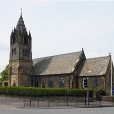
Municipal Borough of Middleton, Former municipal borough in Lancashire, England

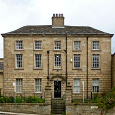
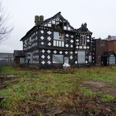
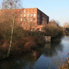
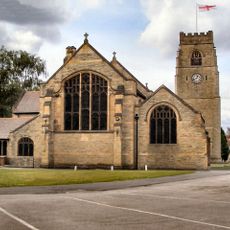
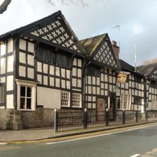
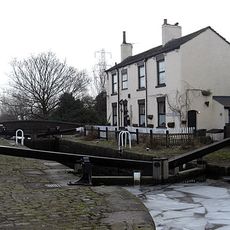
The Municipal Borough of Middleton was an administrative area in Lancashire that stretched between Manchester and Rochdale, spanning the River Irk. The territory contained residential neighborhoods and industrial zones that shaped the local environment.

The administrative unit emerged in 1886 as an independent municipal borough and operated until 1974. At that point it was dissolved and merged into the Metropolitan Borough of Rochdale as part of wider local government reorganization.

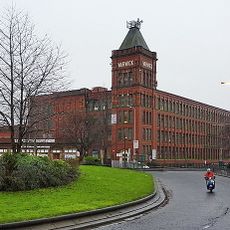
The area formed a center of textile production that shaped daily life for residents through mills and trade connections. This strong link to cotton processing defined the local economy and sense of community.

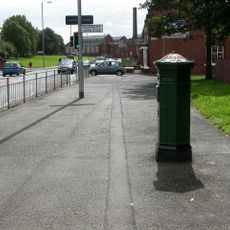
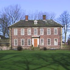
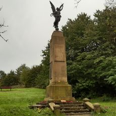
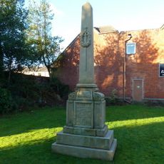
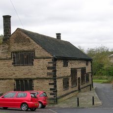
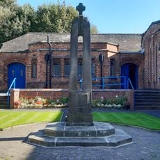
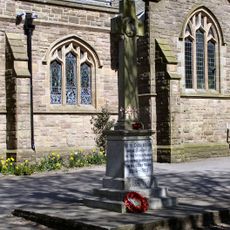
The former borough sits between two major cities and connects to various transport routes that visitors can access fairly easily. Today one finds traces of the earlier administrative structures and industrial use scattered through the landscape and buildings.

The borough's coat of arms granted in 1877 featured cotton sprigs and a silkworm moth, documenting local craft traditions. This symbol embodied the economic direction of the area that shaped it across generations.

The community of curious travelers

AroundUs brings together thousands of curated places, local tips, and hidden gems, enriched daily by 60,000 contributors worldwide.

Start exploring
GPS coordinates
53.55000,-2.20000
Latest update
March 6, 2026 16:53
Around this place
Hopwood Hall
United Kingdom

Hopwood Hall

2.4 km
Tonge Hall
United Kingdom

Tonge Hall

776 m
Church of St Leonard, Middleton
United Kingdom

Church of St Leonard, Middleton

504 m
Church of St Peter, Blackley
United Kingdom

Church of St Peter, Blackley

3.2 km
Chadderton Hall Park
United Kingdom

Chadderton Hall Park

2.8 km
Malta Mill, Middleton
United Kingdom

Malta Mill, Middleton

2 km
St Michael's Church, Middleton
United Kingdom

St Michael's Church, Middleton

672 m
St. Matthew's Church, Chadderton
United Kingdom

St. Matthew's Church, Chadderton

3.3 km
Church of St John
United Kingdom

Church of St John

3.5 km
Church of St George
United Kingdom

Church of St George

3.4 km
Gpo Pillar Box To West Of Junction With Blackley Park Road
United Kingdom

Gpo Pillar Box To West Of Junction With Blackley Park Road

3.8 km
Ye Olde Boars Head Public House
United Kingdom

Ye Olde Boars Head Public House

382 m
War Memorial, Perimeter Walls and Loggia, Garden of Remembrance, Manchester Old Road, Middleton
United Kingdom

War Memorial, Perimeter Walls and Loggia, Garden of Remembrance, Manchester Old Road, Middleton

776 m
Rochdale Canal Slattocks Top Lock (Number 54) And Adjoining Bridge
United Kingdom

Rochdale Canal Slattocks Top Lock (Number 54) And Adjoining Bridge

3 km
Temple To North East Of Heaton Hall
United Kingdom

Temple To North East Of Heaton Hall

3.6 km
Foxdenton Hall
United Kingdom

Foxdenton Hall

2.9 km
Smithy Lodge To East Of Heaton Hall
United Kingdom

Smithy Lodge To East Of Heaton Hall

3.2 km
Alkrington Hall
United Kingdom

Alkrington Hall

809 m
Blackley War Memorial
United Kingdom

Blackley War Memorial

3.3 km
Church of All Saints War Memorial, All Saint's Church, Manchester Old Road, Middleton
United Kingdom

Church of All Saints War Memorial, All Saint's Church, Manchester Old Road, Middleton

1.9 km
Blackley Crematorium
United Kingdom

Blackley Crematorium

3.4 km
Former Queen Elizabeth Old Grammar School And Adjoining Schoolmaster's House
United Kingdom

Former Queen Elizabeth Old Grammar School And Adjoining Schoolmaster's House

698 m
Warwick Mill Including Adjoining Railings
United Kingdom

Warwick Mill Including Adjoining Railings

381 m
Alkrington and Providence War Memorial
United Kingdom

Alkrington and Providence War Memorial

1.2 km
Thornham Parish War Memorial
United Kingdom

Thornham Parish War Memorial

3.4 km
Arkholme
United Kingdom

Arkholme

787 m
Sundial In Front Of Orangery Of Heaton Hall
United Kingdom

Sundial In Front Of Orangery Of Heaton Hall

3.8 km
Blackley WWI Memorial Pillar
United Kingdom

Blackley WWI Memorial Pillar

2.9 km
Show the full map
Reviews
Share your experience

No review yet

Discussions
Start a discussion...

No discussion yet

« Municipal Borough of Middleton - Former municipal borough in Lancashire, England » is provided by Around Us (aroundus.com). Images and texts are derived from Wikimedia project under a Creative Commons license. You are allowed to copy, distribute, and modify copies of this page, under the conditions set by the license, as long as this note is clearly visible.

Discover hidden gems everywhere you go!

From secret cafés to breathtaking viewpoints, skip the crowded tourist spots and find places that match your style. Our app makes it easy with voice search, smart filtering, route optimization, and insider tips from travelers worldwide. Download now for the complete mobile experience.

Around Us App Screenshot

A unique approach to discovering new places

Le Figaro

All the places worth exploring

France Info

A tailor-made excursion in just a few clicks

20 Minutes

Around Us
Travel Guide & Maps
Download

Send to your phone

QR Code
1

Open the camera app on your mobile.

2

Point at the QR code with your camera. A notification will appear.

3

Tap the notification to open the link.