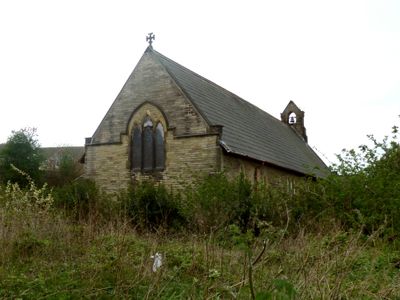
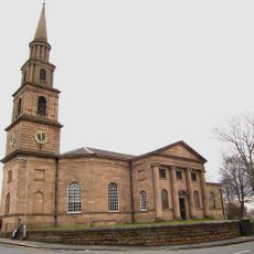
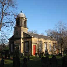
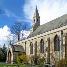
Church of St John the Divine, Calder Grove, Arts and Crafts movement church in Calder Grove, England
The Church of St John the Divine is constructed from Elland stone with Huddersfield stone detailing and features a scissor-truss roof with original stencil paintings. The building was designed as a mission church and displays the characteristic structural and decorative elements of the Arts and Crafts period.
The church was built between 1892 and 1893 under the patronage of Mary Mackie as a mission church serving the parish of St James, Chapelthorpe. In 1903, the chancel underwent complete reconstruction due to subsidence from mining activity, though it followed the original design.
The interior displays handcrafted liturgical furnishings, wrought iron details, and carved wooden sanctuary elements that reflect the thoughtful design principles of the Arts and Crafts movement. These elements show how people valued skilled craftsmanship and artistic attention in their places of worship.
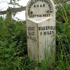
The church is located on Denby Dale Road West in Wakefield, West Yorkshire, making it relatively easy to find. Since the building has plans for conversion, visitors should check access conditions before planning their visit.
The building combines carefully planned liturgical spaces with a remarkable roof construction system that demonstrates the technical innovation of the Arts and Crafts approach. The interplay between the stone exterior and interior wooden architecture reveals how design and function worked together in this philosophy.
The community of curious travelers
AroundUs brings together thousands of curated places, local tips, and hidden gems, enriched daily by 60,000 contributors worldwide.