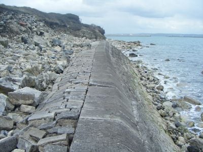
Folly Pier, Historic stone shipping quay in Portland, England.
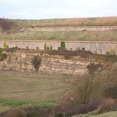
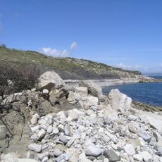
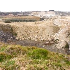
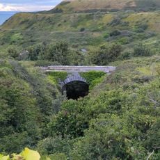
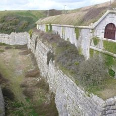
Folly Pier is a stone quay extending from the eastern shore of Portland Island into the sea, located within the protected Jurassic Coast region. The site still shows traces of former loading and transport operations connected to the island's quarrying industry.
The pier began in the 17th century as a loading station for Portland stone needed after the Great Fire of London in 1666 for reconstruction projects. The site later shifted from purely commercial shipping to become part of municipal infrastructure.
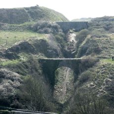
The pier connects to stone loading operations that shaped Portland's economy for centuries. People came here to watch heavy blocks being hoisted onto ships, an activity that defined the town's character.
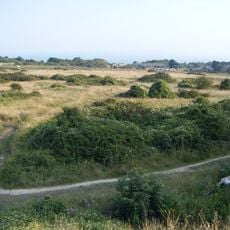
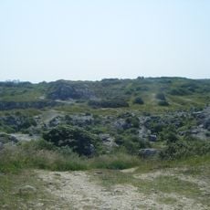
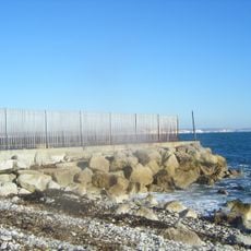
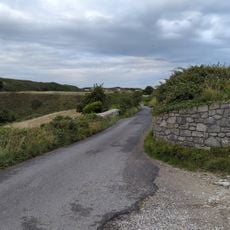
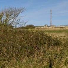
The pier is accessible from the landward side and offers views across the coast and nearby historical structures. Visitors should be aware of uneven surfaces and tidal changes, as water levels can affect access to certain areas.
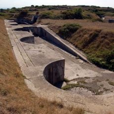
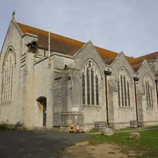
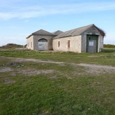
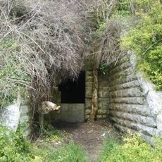
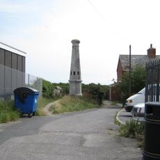
In 1855, the Folly Pier Waterworks were built here by John Coode, an early water supply facility for the town. This structure marks how the site shifted from stone loading to modern urban infrastructure development.
GPS coordinates: 50.55330,-2.41750
Latest update: December 14, 2025 16:45
HM Prison Portland
499 m
Verne Citadel
1.5 km
Verne High Angle Battery
1.2 km
Verne Heavy Anti-Aircraft Battery
1.3 km
Nicodemus Knob
878 m
Broadcroft Quarry
1.1 km
All Saints Church, Portland
1.5 km
King Barrow Quarry
1.3 km
Little Beach
526 m
The Old Engine Shed, Portland
505 m
King's Pier
702 m
St. Peter's Church, Portland
637 m
Yeolands Quarry
911 m
Church of Our Lady and St. Andrew, Portland
830 m
Verne Cistern
1.6 km
Bridge At Sy 6923 7333
1.4 km
Bridge At Sy 6924 7330
1.4 km
Bridge At Sy 6923 7324
1.4 km
Bridge At Sy 6926 7326
1.4 km
The Citadel, South Entrance
1.4 km
RAF Portland, site of Rotor early warning radar station
1.2 km
Hm Young Offenders Institution Gatehouse, With Vr Letter Box
551 m
Boundary Stones At Ngr Sy 68917322
1.7 km
Hm Young Offender Institution, North And East Boundary Walls
408 m
Boundary Stone At Ngr Sy 7035 7208
645 m
Clock Tower
1.6 km
Ventilator Shaft At Ngr Sy 7037 7216
561 m
Wesleyan School With Boundary Wall
1.6 kmVisited this place? Tap the stars to rate it and share your experience / photos with the community! Try now! You can cancel it anytime.
Discover hidden gems everywhere you go!
From secret cafés to breathtaking viewpoints, skip the crowded tourist spots and find places that match your style. Our app makes it easy with voice search, smart filtering, route optimization, and insider tips from travelers worldwide. Download now for the complete mobile experience.
A unique approach to discovering new places❞
— Le Figaro
All the places worth exploring❞
— France Info
A tailor-made excursion in just a few clicks❞
— 20 Minutes