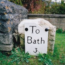
Browne's Folly, Folly tower in Monkton Farleigh, England.
Browne's Folly is a square stone tower located on Farleigh Rise, a Grade II listed building with distinctive round-arched openings on its upper level. An internal spiral staircase climbs to the top, providing access to views across the surrounding landscape.
Colonel Wade Browne built this tower in 1845 as a work-creation project during an agricultural crisis affecting the region. It replaced an earlier semaphore tower that had occupied the same location.
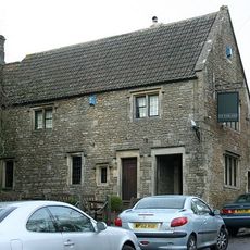
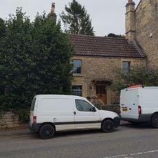
The tower has become a recognized landmark for the local community and appears in official symbols of the parish. It represents the architectural heritage that residents take pride in maintaining and sharing with visitors.
Visitors can climb the tower, though the internal spiral staircase has no handrails so caution is needed on the steps. The Folly Fellowship has maintained the structure since 1998 and continues to welcome people to explore it.
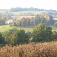
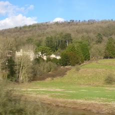
The tower sits within a protected natural area that hosts nine orchid species and serves as habitat for Greater Horseshoe Bats. This combination of historical architecture and rare wildlife makes the location ecologically significant beyond its built heritage.
Location: Monkton Farleigh
GPS coordinates: 51.39322,-2.29635
Latest update: December 12, 2025 07:55
Claverton Pumping Station
1.7 km
American Museum and Gardens
2.1 km
Monkton Farleigh Manor
1.2 km
Browne's Folly
228 m
Shockerwick House
1 km
Church of St Nicholas, Bathampton
1.8 km
Warleigh Weir
1.8 km
Hampton Rocks Cutting
1.7 km
Lock Up, Between Nos 22 And 24 Bathford Hill
1.1 km
Church of St Peter
1.4 km
Church of St Mary
2 km
Parish Church of St Swithun's
870 m
The George Inn Public House
1.8 km
The Kings Arms Inn
1.1 km
Mausoleum To Ralph Allen, In Churchyard To South Of St Mary's Church
2.1 km
Warleigh Manor School
1.3 km
Milestone At Ngr St 7851 6712
1.4 km
245 And 247, London Road East
1.8 km
Section Of Garden Wall 100 Yards To South East Of Batheaston House, Including Niche And Garden Seat
2 km
Fiveways House
2 km
Boundary Marker On (Ngr St 7844 6721)
1.5 km
Milestone At Ngr St 8001 6675
862 m
Boundary Walls And Garden Shed At Warleigh Point
666 m
Boundary Post On Box Bridge
1.8 km
Milestone At Ngr St 7898 6560
656 m
Milestone At Ngr St 7854 6759
1.8 km
Manor Farmhouse With Outbuildings And Garage To West And Wall Surrounding Garden To North With Gatepiers
2 km
1-6, Canal Terrace
1.8 kmVisited this place? Tap the stars to rate it and share your experience / photos with the community! Try now! You can cancel it anytime.
Discover hidden gems everywhere you go!
From secret cafés to breathtaking viewpoints, skip the crowded tourist spots and find places that match your style. Our app makes it easy with voice search, smart filtering, route optimization, and insider tips from travelers worldwide. Download now for the complete mobile experience.
A unique approach to discovering new places❞
— Le Figaro
All the places worth exploring❞
— France Info
A tailor-made excursion in just a few clicks❞
— 20 Minutes