Dunster Butter Cross
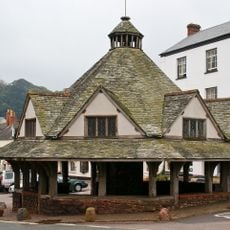
Dunster Butter Cross, Medieval market cross in Dunster, England
The Dunster Butter Cross is a market monument in the medieval village of Dunster with an octagonal base and polygonal shaft. The structure stands approximately 1.1 meters high and displays features typical of medieval market crosses, though its original cross head is no longer present.
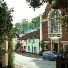
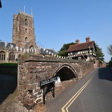
The cross was built between the late 14th and early 15th century and was originally positioned near the Yarn Market. It was relocated to St George's Street after 1776, where it remains today.
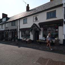
This structure served as a gathering point where local merchants sold butter, dairy products, and fresh goods to villagers. It symbolized the economic and community life that centered on the medieval marketplace.
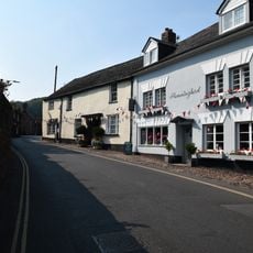
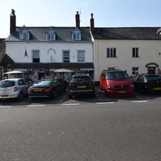
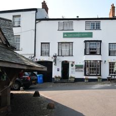
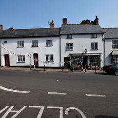
The monument sits on St George's Street in the center of the village and is straightforward to find. Visitors should expect pedestrian activity in the area and will find the spot best appreciated by taking time to look around and absorb the location.
The northern face of the shaft bears initials and a date from the 19th century, marking a restoration period. This marking shows how the monument has been maintained and preserved over many generations.
Location: Dunster
Website: https://english-heritage.org.uk/visit/places/butter-cross
GPS coordinates: 51.18510,-3.44915
Latest update: December 14, 2025 13:06
Priory Church of St George, Dunster
310 m
Yarn Market, Dunster
346 m
Dunster Working Watermill
368 m
Luttrell Arms
350 m
Dunster Dovecote
252 m
Tithe Barn, Dunster
284 m
Chapel House Fronting St George's Street George Deakin's Studio
362 m
14 and 16, Church Street
369 m
18, Church Street
338 m
24, Church Street
320 m
Wall on South Side of Priory Green from Tithe Barn and Across the Front of Nos 5 and 7 Priory Green
275 m
The Olde House
357 m
Dunster Post Office
345 m
J H Parham's General Store
326 m
Cross in the churchyard of St George's Church
273 m
The Gables Carvery
323 m
Stags Head House
367 m
Tamarisk
325 m
The Yarn Market Cafe The Yarn Market Shop
330 m
19 And 21, High Street
337 m
5-10, The Ball
362 m
Stone Wall On North Side Of Priory Green Including Wall Running North Adjoining No 12 Priory Green
242 m
Osborne House
325 m
32, High Street
361 m
No 30 And Adjoining Shop (E Dyer)
363 m
Stone Archway Adjoining Tithe Barn To The North
274 m
South Wall Of Churchyard And Gateway
336 m
The Black Knight
333 mVisited this place? Tap the stars to rate it and share your experience / photos with the community! Try now! You can cancel it anytime.
Discover hidden gems everywhere you go!
From secret cafés to breathtaking viewpoints, skip the crowded tourist spots and find places that match your style. Our app makes it easy with voice search, smart filtering, route optimization, and insider tips from travelers worldwide. Download now for the complete mobile experience.
A unique approach to discovering new places❞
— Le Figaro
All the places worth exploring❞
— France Info
A tailor-made excursion in just a few clicks❞
— 20 Minutes